Area Overview for NG3 6JS
Photos of NG3 6JS
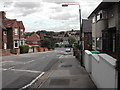
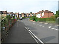
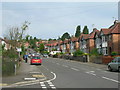
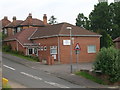
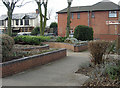
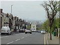
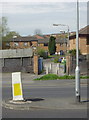
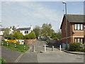
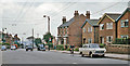
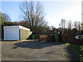
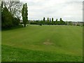
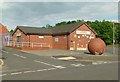
50 photos from this area
Area Information
Key information about the NG3 6JS including its size, population, and administrative classification.
- Area Type
- Postcode
- Area Size
- 8349 m²
- Population
- 1550
- Population Density
- 7928 people/km²
House Prices in NG3 6JS
29
Properties
£87,262
Average Sold Price
£36,500
Lowest Price
£190,000
Highest Price
Showing 29 properties
| Address | Type | Beds | Baths | Last Sale Price | Last Sale Date | |
|---|---|---|---|---|---|---|
| 4 Galena Drive, Nottingham, NG3 6JS | Bungalow | 3 | 1 | £190,000 | Mar 2021 | |
| 44 Galena Drive, Carlton, NG3 6JS | Terraced | 2 | - | £92,000 | Dec 2015 | |
| 42 Galena Drive, Carlton, NG3 6JS | house | 3 | 1 | £89,000 | Jun 2015 | |
| 26 Galena Drive, Carlton, NG3 6JS | Terraced | 3 | 1 | £85,000 | Jan 2015 | |
| 48 Galena Drive, Carlton, NG3 6JS | Bungalow | 3 | - | £105,000 | Jun 2014 | |
| 30 Galena Drive, Carlton, NG3 6JS | Terraced | 3 | - | £78,000 | Feb 2014 | |
| 54 Galena Drive, Carlton, NG3 6JS | house | 2 | - | £100,000 | May 2013 | |
| 18 Galena Drive, Carlton, NG3 6JS | Terraced | - | - | £83,000 | Jan 2008 | |
| 46 Galena Drive, Carlton, NG3 6JS | Detached | - | - | £110,000 | Jul 2005 | |
| 22 Galena Drive, Carlton, NG3 6JS | house | - | - | £96,000 | Apr 2005 |
Page 1 of 3
Energy Efficiency in NG3 6JS
Amenities
Schools
| Rank | School | Type | Entry gender | Ages |
|---|
Explore more schools in this area
Go to Schools tabDemographics
Household Size
Two person
most common
Accommodation Type
Houses
most common
Tenure
61
majority
Ethnic Group
White
most common
Religion
N/A
most common
Household Composition
N/A
most common
Age
47
median
Adults (30-64 years)
most common
Household Deprivation
N/A
with no deprivation
NS-SEC
22
in Lower managerial occupations
Explore more demographic insights in this area
Go to Demographics tabPlanning
Planning Constraints
- Flood RiskPremium
- Ramsar Wetland SitesPremium
- Area of Outstanding Natural BeautyPremium
- Protected Nature ReservePremium
- Protected WoodlandPremium