Area Overview for NG3 6GR
Photos of NG3 6GR
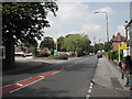
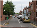
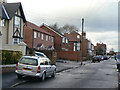
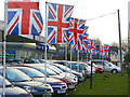
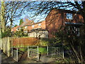
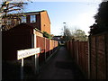
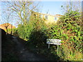
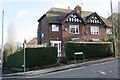
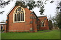
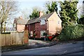
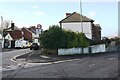
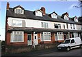
97 photos from this area
Area Information
Key information about the NG3 6GR including its size, population, and administrative classification.
- Area Type
- Postcode
- Area Size
- 7442 m²
- Population
- 1445
- Population Density
- 5704 people/km²
House Prices in NG3 6GR
11
Properties
£224,900
Average Sold Price
£55,000
Lowest Price
£415,000
Highest Price
Showing 11 properties
| Address | Type | Beds | Baths | Last Sale Price | Last Sale Date | |
|---|---|---|---|---|---|---|
| 310 Porchester Road, Mapperley, NG3 6GR | Bungalow | 3 | 5 | £415,000 | Jul 2022 | |
| 338 Porchester Road, Nottingham, NG3 6GR | Semi-detached | 4 | 2 | £305,000 | Jan 2022 | |
| 312 Porchester Road, Mapperley, NG3 6GR | Semi-detached | 4 | 2 | £377,500 | Jun 2021 | |
| 322 Porchester Road, Mapperley, NG3 6GR | Semi-detached | 3 | - | £220,000 | Jun 2020 | |
| 334 Porchester Road, Nottingham, NG3 6GR | Semi-detached | 1 | 1 | £190,000 | Mar 2020 | |
| 320 Porchester Road, Mapperley, NG3 6GR | Semi-detached | 3 | - | £143,000 | Jun 2016 | |
| 314 Porchester Road, Mapperley, NG3 6GR | Bungalow | - | - | £221,500 | Sep 2014 | |
| 324 Porchester Road, Mapperley, NG3 6GR | Semi-detached | - | - | £180,000 | Feb 2008 | |
| 336 Porchester Road, Nottingham, NG3 6GR | Semi-detached | - | - | £142,000 | Feb 2006 | |
| 332 Porchester Road, Nottingham, NG3 6GR | Semi-detached | 4 | 1 | £55,000 | Oct 1997 |
Page 1 of 2
Energy Efficiency in NG3 6GR
Amenities
Schools
| Rank | School | Type | Entry gender | Ages |
|---|
Explore more schools in this area
Go to Schools tabDemographics
Household Size
Two person
most common
Accommodation Type
Houses
most common
Tenure
78
majority
Ethnic Group
White
most common
Religion
N/A
most common
Household Composition
N/A
most common
Age
47
median
Adults (30-64 years)
most common
Household Deprivation
N/A
with no deprivation
NS-SEC
47
in Lower managerial occupations
Explore more demographic insights in this area
Go to Demographics tabPlanning
Planning Constraints
- Flood RiskPremium
- Ramsar Wetland SitesPremium
- Area of Outstanding Natural BeautyPremium
- Protected Nature ReservePremium
- Protected WoodlandPremium