Area Overview for NG3 5HS
Photos of NG3 5HS
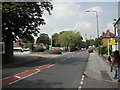
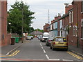
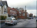
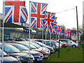
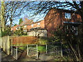
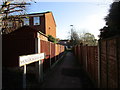
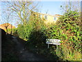
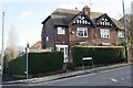
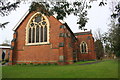
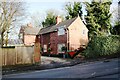
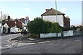
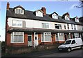
97 photos from this area
Area Information
Key information about the NG3 5HS including its size, population, and administrative classification.
- Area Type
- Postcode
- Area Size
- 1.8 hectares
- Population
- 2126
- Population Density
- 3439 people/km²
House Prices in NG3 5HS
39
Properties
£159,970
Average Sold Price
£100,000
Lowest Price
£248,000
Highest Price
Showing 39 properties
| Address | Type | Beds | Baths | Last Sale Price | Last Sale Date | |
|---|---|---|---|---|---|---|
| 158 Querneby Road, Nottingham, NG3 5HS | Semi-detached | 3 | 1 | £145,000 | May 2025 | |
| 162 Querneby Road, Nottingham, NG3 5HS | Terraced | 3 | 2 | £189,000 | May 2025 | |
| 108 Querneby Road, Nottingham, NG3 5HS | Semi-detached | 3 | 1 | £248,000 | Nov 2022 | |
| 166 Querneby Road, Nottingham, NG3 5HS | Terraced | 3 | 3 | £185,000 | Sep 2022 | |
| 160 Querneby Road, Nottingham, NG3 5HS | house | - | - | £200,000 | Dec 2021 | |
| 96 Querneby Road, Nottingham, NG3 5HS | house | 3 | 1 | £130,000 | Feb 2021 | |
| 100 Querneby Road, Nottingham, NG3 5HS | Detached | 3 | 1 | £162,200 | Aug 2020 | |
| 164 Querneby Road, Nottingham, NG3 5HS | house | 3 | 1 | £136,000 | Aug 2019 | |
| 98 Querneby Road, Nottingham, NG3 5HS | Detached | 3 | 1 | £104,500 | Dec 2017 | |
| 156 Querneby Road, Nottingham, NG3 5HS | Semi-detached | 3 | 1 | £100,000 | Feb 2006 |
Page 1 of 4
Energy Efficiency in NG3 5HS
Amenities
Schools
| Rank | School | Type | Entry gender | Ages |
|---|
Explore more schools in this area
Go to Schools tabDemographics
Household Size
One person
most common
Accommodation Type
Houses
most common
Tenure
55
majority
Ethnic Group
White
most common
Religion
N/A
most common
Household Composition
N/A
most common
Age
47
median
Adults (30-64 years)
most common
Household Deprivation
N/A
with no deprivation
NS-SEC
35
in Lower managerial occupations
Explore more demographic insights in this area
Go to Demographics tabPlanning
Planning Constraints
- Flood RiskPremium
- Ramsar Wetland SitesPremium
- Area of Outstanding Natural BeautyPremium
- Protected Nature ReservePremium
- Protected WoodlandPremium