Area Overview for NG3 4JB
Photos of NG3 4JB
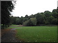
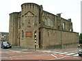
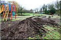
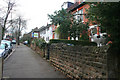
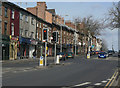
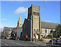
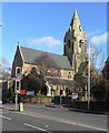
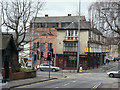
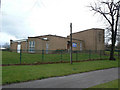
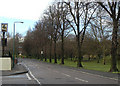
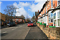
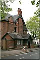
100 photos from this area
Area Information
Key information about the NG3 4JB including its size, population, and administrative classification.
- Area Type
- Postcode
- Area Size
- 2.2 hectares
- Population
- 1898
- Population Density
- 3017 people/km²
House Prices in NG3 4JB
31
Properties
£393,667
Average Sold Price
£11,000
Lowest Price
£940,000
Highest Price
Showing 31 properties
| Address | Type | Beds | Baths | Last Sale Price | Last Sale Date | |
|---|---|---|---|---|---|---|
| 12 The Crescent, Nottingham, NG3 4JB | Detached | 4 | 3 | £940,000 | May 2024 | |
| The Lodge, The Crescent, Nottingham, NG3 4JB | Detached | 4 | 3 | £432,000 | Jan 2020 | |
| 14 The Crescent, Nottingham, NG3 4JB | Detached | 4 | 2 | £345,000 | Oct 2018 | |
| 18 The Crescent, Nottingham, NG3 4JB | Detached | 5 | 2 | £510,000 | Oct 2017 | |
| Springfield Lodge, The Crescent, Nottingham, NG3 4JB | Detached | 4 | 3 | £11,000 | Apr 2017 | |
| 20 The Crescent, Nottingham, NG3 4JB | house | 5 | - | £350,000 | Mar 2012 | |
| 26 The Crescent, Nottingham, NG3 4JB | Detached | - | - | £625,000 | Dec 2004 | |
| 22 The Crescent, Nottingham, NG3 4JB | house | - | - | £200,000 | Jul 2000 | |
| 17 The Crescent, Nottingham, NG3 4JB | Detached | - | - | £130,000 | Aug 1998 | |
| 24 The Crescent, Nottingham, NG3 4JB | Detached | 4 | 4 | - | - |
Page 1 of 4
Energy Efficiency in NG3 4JB
Amenities
Schools
| Rank | School | Type | Entry gender | Ages |
|---|
Explore more schools in this area
Go to Schools tabDemographics
Household Size
One person
most common
Accommodation Type
Flats
most common
Tenure
26
majority
Ethnic Group
White
most common
Religion
N/A
most common
Household Composition
N/A
most common
Age
22
median
Young Adults (15-29 years)
most common
Household Deprivation
N/A
with no deprivation
NS-SEC
26
in Lower managerial occupations
Explore more demographic insights in this area
Go to Demographics tabPlanning
Planning Constraints
- Flood RiskPremium
- Ramsar Wetland SitesPremium
- Area of Outstanding Natural BeautyPremium
- Protected Nature ReservePremium
- Protected WoodlandPremium