Area Overview for NG3 3LL
Photos of NG3 3LL
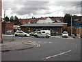
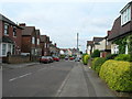
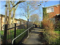
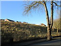
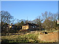
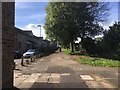
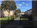
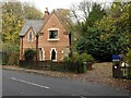
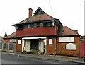
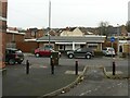
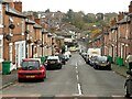
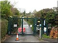
40 photos from this area
Area Information
Key information about the NG3 3LL including its size, population, and administrative classification.
- Area Type
- Postcode
- Area Size
- 4172 m²
- Population
- 1917
- Population Density
- 9731 people/km²
House Prices in NG3 3LL
27
Properties
£90,500
Average Sold Price
£35,000
Lowest Price
£150,000
Highest Price
Showing 27 properties
| Address | Type | Beds | Baths | Last Sale Price | Last Sale Date | |
|---|---|---|---|---|---|---|
| 174 Hungerhill Road, Nottingham, NG3 3LL | house | 3 | 1 | £150,000 | Jul 2025 | |
| 156 Hungerhill Road, Nottingham, NG3 3LL | Terraced | 2 | 1 | £130,000 | Apr 2025 | |
| 158 Hungerhill Road, Nottingham, NG3 3LL | Terraced | 2 | 1 | £130,000 | Feb 2024 | |
| 180 Hungerhill Road, Nottingham, NG3 3LL | house | - | - | £120,000 | Mar 2023 | |
| 152 Hungerhill Road, Nottingham, NG3 3LL | Terraced | 2 | - | £90,000 | Dec 2022 | |
| 170 Hungerhill Road, Nottingham, NG3 3LL | Semi-detached | 3 | 1 | £113,500 | Feb 2022 | |
| 142 Hungerhill Road, Nottingham, NG3 3LL | Terraced | 2 | 1 | £114,500 | Jan 2022 | |
| 148 Hungerhill Road, Nottingham, NG3 3LL | Terraced | 2 | 1 | £94,000 | Jun 2020 | |
| 182 Hungerhill Road, Nottingham, NG3 3LL | Semi-detached | 3 | 1 | £140,000 | Nov 2018 | |
| 160 Hungerhill Road, Nottingham, NG3 3LL | house | 3 | - | £117,000 | Jan 2017 |
Page 1 of 3
Energy Efficiency in NG3 3LL
Amenities
Schools
| Rank | School | Type | Entry gender | Ages |
|---|
Explore more schools in this area
Go to Schools tabDemographics
Household Size
Family (3-5 people)
most common
Accommodation Type
Houses
most common
Tenure
30
majority
Ethnic Group
White
most common
Religion
N/A
most common
Household Composition
N/A
most common
Age
47
median
Adults (30-64 years)
most common
Household Deprivation
N/A
with no deprivation
NS-SEC
13
in Lower managerial occupations
Explore more demographic insights in this area
Go to Demographics tabPlanning
Planning Constraints
- Flood RiskPremium
- Ramsar Wetland SitesPremium
- Area of Outstanding Natural BeautyPremium
- Protected Nature ReservePremium
- Protected WoodlandPremium