Area Overview for NG3 3AE
Photos of NG3 3AE
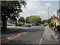
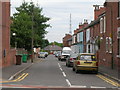
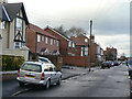
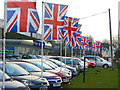
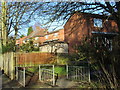
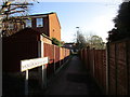
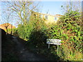
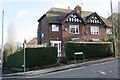
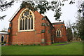
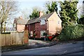
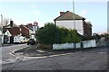
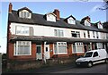
97 photos from this area
Area Information
Key information about the NG3 3AE including its size, population, and administrative classification.
- Area Type
- Postcode
- Area Size
- 8392 m²
- Population
- 1943
- Population Density
- 7514 people/km²
House Prices in NG3 3AE
22
Properties
£86,333
Average Sold Price
£25,000
Lowest Price
£127,000
Highest Price
Showing 22 properties
| Address | Type | Beds | Baths | Last Sale Price | Last Sale Date | |
|---|---|---|---|---|---|---|
| 453 The Wells Road, Nottingham, NG3 3AE | Detached | 2 | 2 | £97,000 | Apr 2022 | |
| 455 The Wells Road, Nottingham, NG3 3AE | Semi-detached | 2 | 1 | £127,000 | Mar 2020 | |
| 433 The Wells Road, Nottingham, NG3 3AE | Semi-detached | 2 | 1 | £95,000 | Nov 2017 | |
| 483 The Wells Road, Nottingham, NG3 3AE | house | - | - | £80,500 | Dec 2011 | |
| 435 The Wells Road, Nottingham, NG3 3AE | house | 2 | - | £93,500 | Dec 2009 | |
| 457 The Wells Road, Nottingham, NG3 3AE | house | - | - | £25,000 | Apr 2001 | |
| 485 The Wells Road, Nottingham, NG3 3AE | Semi-detached | 3 | 1 | - | - | |
| 479 The Wells Road, Nottingham, NG3 3AE | Semi-detached | 3 | 1 | - | - | |
| 449 The Wells Road, Nottingham, NG3 3AE | Semi-detached | 2 | 1 | - | - | |
| 489 The Wells Road, Nottingham, NG3 3AE | house | - | - | - | - |
Page 1 of 3
Energy Efficiency in NG3 3AE
Amenities
Schools
| Rank | School | Type | Entry gender | Ages |
|---|
Explore more schools in this area
Go to Schools tabDemographics
Household Size
One person
most common
Accommodation Type
Houses
most common
Tenure
29
majority
Ethnic Group
White
most common
Religion
N/A
most common
Household Composition
N/A
most common
Age
47
median
Adults (30-64 years)
most common
Household Deprivation
N/A
with no deprivation
NS-SEC
24
in Lower managerial occupations
Explore more demographic insights in this area
Go to Demographics tabPlanning
Planning Constraints
- Flood RiskPremium
- Ramsar Wetland SitesPremium
- Area of Outstanding Natural BeautyPremium
- Protected Nature ReservePremium
- Protected WoodlandPremium