Area Overview for NG3 2LH
Photos of NG3 2LH
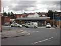
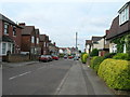
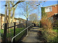
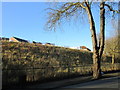
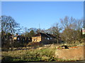
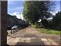
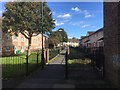
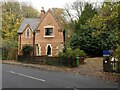
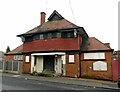
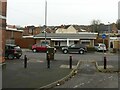
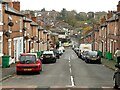
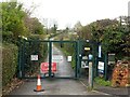
40 photos from this area
Area Information
Key information about the NG3 2LH including its size, population, and administrative classification.
- Area Type
- Postcode
- Area Size
- 1609 m²
- Population
- 2113
- Population Density
- 7947 people/km²
House Prices in NG3 2LH
13
Properties
£85,005
Average Sold Price
£28,547
Lowest Price
£130,000
Highest Price
Showing 13 properties
| Address | Type | Beds | Baths | Last Sale Price | Last Sale Date | |
|---|---|---|---|---|---|---|
| 321 Gordon Road, Nottingham, NG3 2LH | Terraced | 2 | 1 | £118,000 | Jan 2024 | |
| 313 Gordon Road, Nottingham, NG3 2LH | Terraced | 2 | 1 | £130,000 | May 2023 | |
| 323 Gordon Road, Nottingham, NG3 2LH | Terraced | 2 | 1 | £107,000 | Mar 2021 | |
| 325 Gordon Road, Nottingham, NG3 2LH | house | - | - | £114,000 | Dec 2018 | |
| 311 Gordon Road, Nottingham, NG3 2LH | Terraced | 2 | - | £86,000 | Aug 2018 | |
| 307 Gordon Road, Nottingham, NG3 2LH | house | - | - | £72,500 | Feb 2016 | |
| 309 Gordon Road, Nottingham, NG3 2LH | Terraced | 2 | 1 | £77,000 | Jul 2015 | |
| 315 Gordon Road, Nottingham, NG3 2LH | house | 2 | - | £32,000 | Jan 2002 | |
| 327 Gordon Road, Nottingham, NG3 2LH | house | - | - | £28,547 | Sep 1995 | |
| 317 Gordon Road, Nottingham, NG3 2LH | Terraced | - | - | - | - |
Page 1 of 2
Energy Efficiency in NG3 2LH
Amenities
Schools
| Rank | School | Type | Entry gender | Ages |
|---|
Explore more schools in this area
Go to Schools tabDemographics
Household Size
One person
most common
Accommodation Type
Houses
most common
Tenure
41
majority
Ethnic Group
White
most common
Religion
N/A
most common
Household Composition
N/A
most common
Age
47
median
Adults (30-64 years)
most common
Household Deprivation
N/A
with no deprivation
NS-SEC
19
in Lower managerial occupations
Explore more demographic insights in this area
Go to Demographics tabPlanning
Planning Constraints
- Flood RiskPremium
- Ramsar Wetland SitesPremium
- Area of Outstanding Natural BeautyPremium
- Protected Nature ReservePremium
- Protected WoodlandPremium