Area Overview for NG3 2AZ
Photos of NG3 2AZ
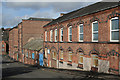
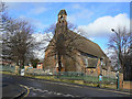
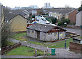
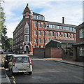
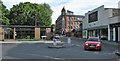
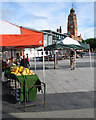

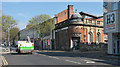
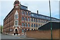
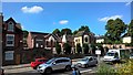
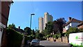
90 photos from this area
Area Information
Key information about the NG3 2AZ including its size, population, and administrative classification.
- Area Type
- Postcode
- Area Size
- 8882 m²
- Population
- 1648
- Population Density
- 7028 people/km²
House Prices in NG3 2AZ
47
Properties
£94,175
Average Sold Price
£15,000
Lowest Price
£255,000
Highest Price
Showing 47 properties
| Address | Type | Beds | Baths | Last Sale Price | Last Sale Date | |
|---|---|---|---|---|---|---|
| 32 Spalding Road, Nottingham, NG3 2AZ | house | - | - | £165,000 | Oct 2024 | |
| 86 Spalding Road, Nottingham, NG3 2AZ | Terraced | 2 | 1 | £140,000 | Sep 2024 | |
| 18 Spalding Road, Nottingham, NG3 2AZ | Semi-detached | 3 | 2 | £220,000 | Sep 2024 | |
| 20 Spalding Road, Nottingham, NG3 2AZ | Detached | 5 | 2 | £255,000 | Dec 2022 | |
| 80 Spalding Road, Nottingham, NG3 2AZ | house | 2 | - | £75,931 | Dec 2022 | |
| 78 Spalding Road, Nottingham, NG3 2AZ | Terraced | 2 | 1 | £154,000 | Dec 2022 | |
| 56 Spalding Road, Nottingham, NG3 2AZ | house | - | - | £70,000 | Aug 2022 | |
| 66 Spalding Road, Nottingham, NG3 2AZ | Terraced | 2 | 1 | £103,000 | Nov 2021 | |
| 62 Spalding Road, Nottingham, NG3 2AZ | Terraced | 2 | 1 | £123,000 | Dec 2020 | |
| 46 Spalding Road, Nottingham, NG3 2AZ | Terraced | 2 | 1 | £129,000 | Dec 2020 |
Page 1 of 5
Energy Efficiency in NG3 2AZ
Amenities
Schools
| Rank | School | Type | Entry gender | Ages |
|---|
Explore more schools in this area
Go to Schools tabDemographics
Household Size
Family (3-5 people)
most common
Accommodation Type
Houses
most common
Tenure
44
majority
Ethnic Group
White
most common
Religion
N/A
most common
Household Composition
N/A
most common
Age
47
median
Adults (30-64 years)
most common
Household Deprivation
N/A
with no deprivation
NS-SEC
19
in Lower managerial occupations
Explore more demographic insights in this area
Go to Demographics tabPlanning
Planning Constraints
- Flood RiskPremium
- Ramsar Wetland SitesPremium
- Area of Outstanding Natural BeautyPremium
- Protected Nature ReservePremium
- Protected WoodlandPremium