Area Overview for NG25 0UG
Photos of NG25 0UG
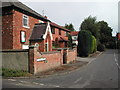
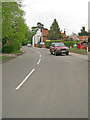
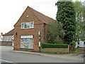
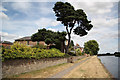
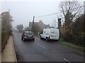
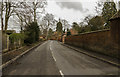
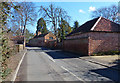

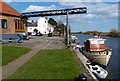
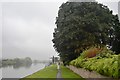
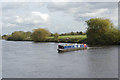
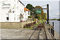
47 photos from this area
Area Information
Key information about the NG25 0UG including its size, population, and administrative classification.
- Area Type
- Postcode
- Area Size
- 29.7 hectares
- Population
- 1145
- Population Density
- 87 people/km²
House Prices in NG25 0UG
45
Properties
£370,751
Average Sold Price
£173,000
Lowest Price
£682,500
Highest Price
Showing 45 properties
| Address | Type | Beds | Baths | Last Sale Price | Last Sale Date | |
|---|---|---|---|---|---|---|
| Woodlands, Station Road, Fiskerton, NG25 0UG | Semi-detached | 4 | 2 | £445,000 | May 2025 | |
| Ash Trees, Station Road, Fiskerton, NG25 0UG | house | - | - | £342,000 | Mar 2025 | |
| Brooklyn, Station Road, Fiskerton, NG25 0UG | Bungalow | 3 | 2 | £575,000 | Aug 2024 | |
| Spelga House, Station Road, Fiskerton, NG25 0UG | Bungalow | 3 | 2 | £510,000 | Jul 2022 | |
| Maythorne, Station Road, Fiskerton, NG25 0UG | Bungalow | - | - | £395,000 | Sep 2021 | |
| Vine Cottage, Station Road, Fiskerton, NG25 0UG | Cottage | 3 | 2 | £400,000 | Apr 2021 | |
| Westbourne, Station Road, Fiskerton, NG25 0UG | house | 5 | - | £495,000 | Mar 2021 | |
| The Spinney, Station Road, Fiskerton, NG25 0UG | house | - | - | £340,000 | Feb 2021 | |
| Tall Trees, Station Road, Fiskerton, NG25 0UG | house | - | - | £682,500 | Nov 2020 | |
| Brambling, Station Road, Fiskerton, NG25 0UG | Semi-detached | 4 | 1 | £322,500 | Jan 2020 |
Page 1 of 5
Energy Efficiency in NG25 0UG
Amenities
Schools
| Rank | School | Type | Entry gender | Ages |
|---|
Explore more schools in this area
Go to Schools tabDemographics
Household Size
Two person
most common
Accommodation Type
Houses
most common
Tenure
91
majority
Ethnic Group
White
most common
Religion
N/A
most common
Household Composition
N/A
most common
Age
47
median
Adults (30-64 years)
most common
Household Deprivation
N/A
with no deprivation
NS-SEC
53
in Lower managerial occupations
Explore more demographic insights in this area
Go to Demographics tabPlanning
Planning Constraints
- Flood RiskPremium
- Ramsar Wetland SitesPremium
- Area of Outstanding Natural BeautyPremium
- Protected Nature ReservePremium
- Protected WoodlandPremium