Area Overview for NG25 0NL
Photos of NG25 0NL
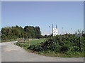
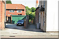
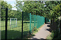
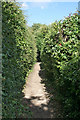
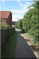
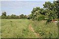


100 photos from this area
Area Information
Key information about the NG25 0NL including its size, population, and administrative classification.
- Area Type
- Postcode
- Area Size
- 3.1 hectares
- Population
- 1768
- Population Density
- 137 people/km²
House Prices in NG25 0NL
26
Properties
£176,413
Average Sold Price
£54,000
Lowest Price
£332,000
Highest Price
Showing 26 properties
| Address | Type | Beds | Baths | Last Sale Price | Last Sale Date | |
|---|---|---|---|---|---|---|
| 11 Allenby Road, Southwell, NG25 0NL | Semi-detached | 3 | 1 | £332,000 | Nov 2024 | |
| 6 Allenby Road, Southwell, NG25 0NL | Terraced | 3 | 2 | £300,000 | Jul 2022 | |
| 9 Allenby Road, Southwell, NG25 0NL | house | - | - | £237,500 | Apr 2021 | |
| 22A Allenby Road, Southwell, NG25 0NL | Flat | - | - | £145,000 | Dec 2018 | |
| 10 Allenby Road, Southwell, NG25 0NL | house | 2 | - | £160,000 | Mar 2016 | |
| 18 Allenby Road, Southwell, NG25 0NL | Terraced | 3 | 1 | £210,000 | Apr 2015 | |
| 12 Allenby Road, Southwell, NG25 0NL | house | - | - | £185,000 | Jun 2013 | |
| 3 Allenby Road, Southwell, NG25 0NL | house | - | - | £190,000 | Nov 2012 | |
| 2 Allenby Road, Southwell, NG25 0NL | house | - | - | £153,500 | Sep 2010 | |
| 26 Allenby Road, Southwell, NG25 0NL | Semi-detached | - | - | £79,950 | May 2001 |
Page 1 of 3
Energy Efficiency in NG25 0NL
Amenities
Schools
| Rank | School | Type | Entry gender | Ages |
|---|
Explore more schools in this area
Go to Schools tabDemographics
Household Size
Two person
most common
Accommodation Type
Houses
most common
Tenure
66
majority
Ethnic Group
White
most common
Religion
N/A
most common
Household Composition
N/A
most common
Age
47
median
Young Adults (15-29 years)
most common
Household Deprivation
N/A
with no deprivation
NS-SEC
30
in Lower managerial occupations
Explore more demographic insights in this area
Go to Demographics tabPlanning
Planning Constraints
- Flood RiskPremium
- Ramsar Wetland SitesPremium
- Area of Outstanding Natural BeautyPremium
- Protected Nature ReservePremium
- Protected WoodlandPremium