Area Overview for NG25 0EH
Photos of NG25 0EH
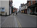
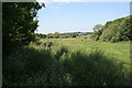
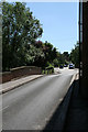
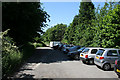
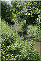
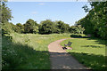
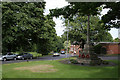
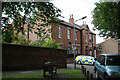
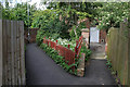
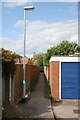
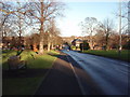
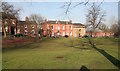
100 photos from this area
Area Information
Key information about the NG25 0EH including its size, population, and administrative classification.
- Area Type
- Postcode
- Area Size
- 1.2 hectares
- Population
- 2196
- Population Density
- 234 people/km²
House Prices in NG25 0EH
31
Properties
£190,040
Average Sold Price
£135,000
Lowest Price
£307,000
Highest Price
Showing 31 properties
| Address | Type | Beds | Baths | Last Sale Price | Last Sale Date | |
|---|---|---|---|---|---|---|
| 77 King Street, Southwell, NG25 0EH | Terraced | 1 | 1 | £135,000 | Mar 2025 | |
| 81 King Street, Southwell, NG25 0EH | Cottage | 2 | 1 | £192,000 | Oct 2024 | |
| 71 King Street, Southwell, NG25 0EH | Cottage | 2 | 1 | £307,000 | Apr 2021 | |
| 63 King Street, Southwell, NG25 0EH | house | 2 | - | £136,250 | Mar 2021 | |
| Leishman And Taussig, 75 King Street, Southwell, NG25 0EH | Terraced | 1 | 1 | £179,950 | Oct 2020 | |
| Archway House, Waterloo Yard, King Street, Southwell, NG25 0EH | Detached | 4 | 3 | - | - | |
| Flat 2, 85 King Street, Southwell, NG25 0EH | Flat | 2 | 1 | - | - | |
| 27A King Street, Southwell, NG25 0EH | Terraced | 1 | 1 | - | - | |
| 25 King Street, Southwell, NG25 0EH | Flat | - | - | - | - | |
| Core, Registrars Office, The Bramley Centre, King Street, Southwell, NG25 0EH | Office | - | - | - | - |
Page 1 of 4
Energy Efficiency in NG25 0EH
Amenities
Schools
| Rank | School | Type | Entry gender | Ages |
|---|
Explore more schools in this area
Go to Schools tabDemographics
Household Size
Two person
most common
Accommodation Type
Houses
most common
Tenure
71
majority
Ethnic Group
White
most common
Religion
N/A
most common
Household Composition
N/A
most common
Age
47
median
Adults (30-64 years)
most common
Household Deprivation
N/A
with no deprivation
NS-SEC
47
in Lower managerial occupations
Explore more demographic insights in this area
Go to Demographics tabPlanning
Planning Constraints
- Flood RiskPremium
- Ramsar Wetland SitesPremium
- Area of Outstanding Natural BeautyPremium
- Protected Nature ReservePremium
- Protected WoodlandPremium