Area Overview for NG24 3BN
Photos of NG24 3BN
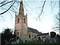
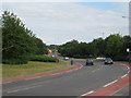
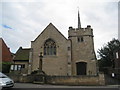
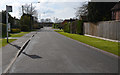
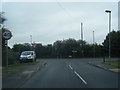
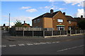
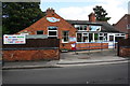
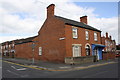
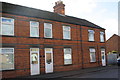
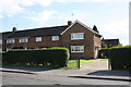
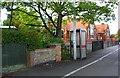
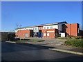
61 photos from this area
Area Information
Key information about the NG24 3BN including its size, population, and administrative classification.
- Area Type
- Postcode
- Area Size
- 2.5 hectares
- Population
- 1361
- Population Density
- 3293 people/km²
House Prices in NG24 3BN
13
Properties
£222,625
Average Sold Price
£64,000
Lowest Price
£405,000
Highest Price
Showing 13 properties
| Address | Type | Beds | Baths | Last Sale Price | Last Sale Date | |
|---|---|---|---|---|---|---|
| 192 London Road, Balderton, NG24 3BN | Bungalow | 2 | 1 | £145,000 | Nov 2023 | |
| 188 London Road, Balderton, NG24 3BN | Retail | 2 | 1 | £405,000 | Mar 2021 | |
| 150 London Road, Balderton, NG24 3BN | Detached | 7 | 6 | £276,500 | Aug 2009 | |
| 186 London Road, Balderton, NG24 3BN | Detached | - | - | £64,000 | Mar 1995 | |
| 1-4, Plot, 188 London Road, Balderton, NG24 3BN | Semi-detached | - | - | - | - | |
| The Oaks Residential Care Home, London Road, Balderton, NG24 3BN | Retirement | - | - | - | - | |
| 180 London Road, Balderton, NG24 3BN | Semi-detached | - | - | - | - | |
| Little Oaks Nursing Home, London Road, Balderton, NG24 3BN | hospital_care_home | - | - | - | - | |
| 176 London Road, Balderton, NG24 3BN | Detached | - | - | - | - | |
| 178 London Road, Balderton, NG24 3BN | Semi-detached | - | - | - | - |
Page 1 of 2
Energy Efficiency in NG24 3BN
Amenities
Schools
| Rank | School | Type | Entry gender | Ages |
|---|
Explore more schools in this area
Go to Schools tabDemographics
Household Size
Two person
most common
Accommodation Type
Houses
most common
Tenure
79
majority
Ethnic Group
White
most common
Religion
N/A
most common
Household Composition
N/A
most common
Age
47
median
Adults (30-64 years)
most common
Household Deprivation
N/A
with no deprivation
NS-SEC
28
in Lower managerial occupations
Explore more demographic insights in this area
Go to Demographics tabPlanning
Planning Constraints
- Flood RiskPremium
- Ramsar Wetland SitesPremium
- Area of Outstanding Natural BeautyPremium
- Protected Nature ReservePremium
- Protected WoodlandPremium