Area Overview for NG24 2EG
Photos of NG24 2EG

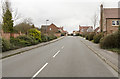
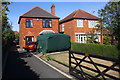
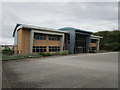
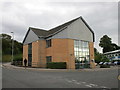
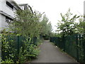
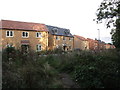
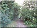
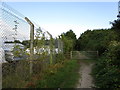
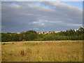
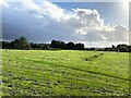
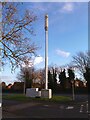
24 photos from this area
Area Information
Key information about the NG24 2EG including its size, population, and administrative classification.
- Area Type
- Postcode
- Area Size
- 26.4 hectares
- Population
- 1444
- Population Density
- 923 people/km²
House Prices in NG24 2EG
26
Properties
-
Average Sold Price
-
Lowest Price
-
Highest Price
Showing 26 properties
| Address | Type | Beds | Baths | Last Sale Price | Last Sale Date | |
|---|---|---|---|---|---|---|
| X2connect, Brunel Drive, Newark On Trent, NG24 2EG | Office | - | - | - | - | |
| International House, Brunel Drive, Newark On Trent, NG24 2EG | office_workshop | - | - | - | - | |
| Unit 19, Newark Business Park, 3 Brunel Drive, Newark On Trent, NG24 2EG | Industrial | - | - | - | - | |
| Butterfly Poultry Ltd, Unit 12, Newark Business Park, 3 Brunel Drive, Newark On Trent, NG24 2EG | Industrial | - | - | - | - | |
| One Big Star, Unit 17, Newark Business Park, 3 Brunel Drive, Newark On Trent, NG24 2EG | Industrial | - | - | - | - | |
| Units 5 And 6, Newark Business Park, 3 Brunel Drive, Newark On Trent, NG24 2EG | Industrial | - | - | - | - | |
| Unit 4, Newark Business Park, 3 Brunel Drive, Newark On Trent, NG24 2EG | warehouse | - | - | - | - | |
| Cox Events Ltd, Unit 2, Brunel Court, Brunel Drive, Newark On Trent, NG24 2EG | office_workshop | - | - | - | - | |
| Fosseway Electrical Services, Cook House, Brunel Drive, Newark On Trent, NG24 2EG | Office | - | - | - | - | |
| Wrates Scholastic Photographs Ltd, Brunel Drive, Newark On Trent, NG24 2EG | Office | - | - | - | - |
Page 1 of 3
Energy Efficiency in NG24 2EG
Amenities
Schools
| Rank | School | Type | Entry gender | Ages |
|---|
Explore more schools in this area
Go to Schools tabDemographics
Household Size
One person
most common
Accommodation Type
Houses
most common
Tenure
43
majority
Ethnic Group
White
most common
Religion
N/A
most common
Household Composition
N/A
most common
Age
47
median
Adults (30-64 years)
most common
Household Deprivation
N/A
with no deprivation
NS-SEC
15
in Lower managerial occupations
Explore more demographic insights in this area
Go to Demographics tabPlanning
Planning Constraints
- Flood RiskPremium
- Ramsar Wetland SitesPremium
- Area of Outstanding Natural BeautyPremium
- Protected Nature ReservePremium
- Protected WoodlandPremium