Area Overview for NG23 7LR
Photos of NG23 7LR
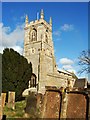
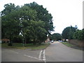
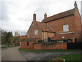
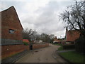
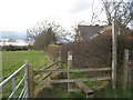
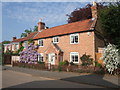
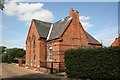
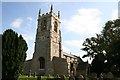
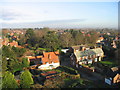
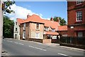
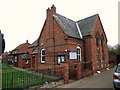
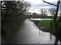
100 photos from this area
Area Information
Key information about the NG23 7LR including its size, population, and administrative classification.
- Area Type
- Postcode
- Area Size
- 1.3 hectares
- Population
- 1530
- Population Density
- 180 people/km²
House Prices in NG23 7LR
19
Properties
£316,493
Average Sold Price
£68,000
Lowest Price
£625,000
Highest Price
Showing 19 properties
| Address | Type | Beds | Baths | Last Sale Price | Last Sale Date | |
|---|---|---|---|---|---|---|
| 5 Bell Lane, Collingham, NG23 7LR | Detached | 2 | - | £268,000 | Apr 2025 | |
| 21 Bell Lane, Collingham, NG23 7LR | Bungalow | 2 | 1 | £227,000 | Mar 2023 | |
| 19 Bell Lane, Collingham, NG23 7LR | Bungalow | 2 | 1 | £300,000 | Dec 2022 | |
| 7 Bell Lane, Collingham, NG23 7LR | house | 2 | 2 | £625,000 | Sep 2022 | |
| Little Trees, Bell Lane, Collingham, NG23 7LR | house | - | - | £365,000 | Aug 2022 | |
| 16 Bell Lane, Collingham, NG23 7LR | Retail | 3 | 1 | £287,500 | Jul 2022 | |
| 6 Bell Lane, Collingham, NG23 7LR | house | - | - | £405,400 | Apr 2019 | |
| Magnolia House, Bell Lane, Collingham, NG23 7LR | house | - | - | £440,000 | Feb 2017 | |
| Wicksted House, 4 Bell Lane, Collingham, NG23 7LR | house | 4 | - | £570,000 | Mar 2016 | |
| 15 Bell Lane, Collingham, NG23 7LR | house | - | - | £195,000 | Dec 2013 |
Page 1 of 2
Energy Efficiency in NG23 7LR
Amenities
Schools
| Rank | School | Type | Entry gender | Ages |
|---|
Explore more schools in this area
Go to Schools tabDemographics
Household Size
Two person
most common
Accommodation Type
Houses
most common
Tenure
87
majority
Ethnic Group
White
most common
Religion
N/A
most common
Household Composition
N/A
most common
Age
47
median
Adults (30-64 years)
most common
Household Deprivation
N/A
with no deprivation
NS-SEC
48
in Lower managerial occupations
Explore more demographic insights in this area
Go to Demographics tabPlanning
Planning Constraints
- Flood RiskPremium
- Ramsar Wetland SitesPremium
- Area of Outstanding Natural BeautyPremium
- Protected Nature ReservePremium
- Protected WoodlandPremium