Area Overview for NG23 6PH
Photos of NG23 6PH
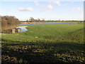
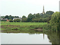
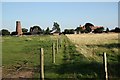
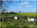
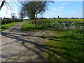
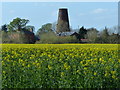
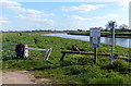
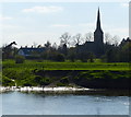
58 photos from this area
Area Information
Key information about the NG23 6PH including its size, population, and administrative classification.
- Area Type
- Postcode
- Area Size
- 88.2 hectares
- Population
- 1530
- Population Density
- 40 people/km²
House Prices in NG23 6PH
13
Properties
£410,740
Average Sold Price
£140,000
Lowest Price
£1,175,000
Highest Price
Showing 13 properties
| Address | Type | Beds | Baths | Last Sale Price | Last Sale Date | |
|---|---|---|---|---|---|---|
| Norwood, Carlton Lane, Sutton On Trent, NG23 6PH | Bungalow | 2 | 1 | £275,000 | Mar 2025 | |
| THE RHYMES, CARLTON LANE, Sutton on Trent, NG23 6PH | Detached | - | - | £1,175,000 | May 2022 | |
| Amberdene, Carlton Lane, Sutton On Trent, NG23 6PH | Bungalow | 3 | 1 | £163,750 | Jan 2016 | |
| The Brambles, 4 Carlton Lane, Sutton On Trent, NG23 6PH | house | 3 | - | £299,950 | Dec 2012 | |
| Cofton, 7 Carlton Lane, Sutton On Trent, NG23 6PH | Semi-detached | - | - | £140,000 | Nov 2009 | |
| The Homestead, Carlton Lane, Sutton On Trent, NG23 6PH | Bungalow | - | - | - | - | |
| York Cottage, 2 Carlton Lane, Sutton On Trent, NG23 6PH | Terraced | - | - | - | - | |
| 6 Carlton Lane, Sutton On Trent, NG23 6PH | Terraced | - | - | - | - | |
| 12 Carlton Lane, Sutton On Trent, NG23 6PH | Terraced | - | - | - | - | |
| Orchard End, 3 Carlton Lane, Sutton On Trent, NG23 6PH | Detached | - | - | - | - |
Page 1 of 2
Energy Efficiency in NG23 6PH
Amenities
Schools
| Rank | School | Type | Entry gender | Ages |
|---|
Explore more schools in this area
Go to Schools tabDemographics
Household Size
Two person
most common
Accommodation Type
Houses
most common
Tenure
84
majority
Ethnic Group
White
most common
Religion
N/A
most common
Household Composition
N/A
most common
Age
47
median
Adults (30-64 years)
most common
Household Deprivation
N/A
with no deprivation
NS-SEC
42
in Lower managerial occupations
Explore more demographic insights in this area
Go to Demographics tabPlanning
Planning Constraints
- Flood RiskPremium
- Ramsar Wetland SitesPremium
- Area of Outstanding Natural BeautyPremium
- Protected Nature ReservePremium
- Protected WoodlandPremium