Area Overview for NG23 5RD
Photos of NG23 5RD
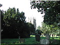
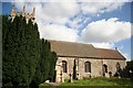

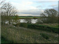
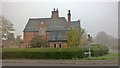
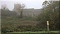
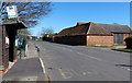
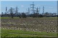

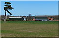

71 photos from this area
Area Information
Key information about the NG23 5RD including its size, population, and administrative classification.
- Area Type
- Postcode
- Area Size
- 4.3 hectares
- Population
- 1140
- Population Density
- 44 people/km²
House Prices in NG23 5RD
17
Properties
£312,063
Average Sold Price
£38,000
Lowest Price
£615,000
Highest Price
Showing 17 properties
| Address | Type | Beds | Baths | Last Sale Price | Last Sale Date | |
|---|---|---|---|---|---|---|
| Manor Farm House, Pinfold Lane, Averham, NG23 5RD | Detached | 4 | 4 | £615,000 | Jun 2024 | |
| Oak House, Pinfold Lane, Averham, NG23 5RD | house | - | - | £490,000 | Jun 2021 | |
| The Gables, Pinfold Lane, Averham, NG23 5RD | Detached | 4 | 2 | £140,000 | Dec 2020 | |
| The Old Forge, Pinfold Lane, Averham, NG23 5RD | house | - | - | £306,000 | Feb 2017 | |
| Ash House, Pinfold Lane, Averham, NG23 5RD | house | - | - | £387,500 | Sep 2015 | |
| Moss Cottage, Pinfold Lane, Averham, NG23 5RD | Semi-detached | - | - | £270,000 | Dec 2009 | |
| Sycamore House, Pinfold Lane, Averham, NG23 5RD | Detached | - | - | £250,000 | Dec 2002 | |
| Flos Cottage, Pinfold Lane, Averham, NG23 5RD | Semi-detached | - | - | £38,000 | Jun 2000 | |
| May Cottage, Pinfold Lane, Averham, NG23 5RD | Detached | 4 | 4 | - | - | |
| The Cats Whiskers, Pinfold Lane, Averham, NG23 5RD | Semi-detached | 2 | 1 | - | - |
Page 1 of 2
Energy Efficiency in NG23 5RD
Amenities
Schools
| Rank | School | Type | Entry gender | Ages |
|---|
Explore more schools in this area
Go to Schools tabDemographics
Household Size
Two person
most common
Accommodation Type
Houses
most common
Tenure
79
majority
Ethnic Group
White
most common
Religion
N/A
most common
Household Composition
N/A
most common
Age
47
median
Adults (30-64 years)
most common
Household Deprivation
N/A
with no deprivation
NS-SEC
46
in Lower managerial occupations
Explore more demographic insights in this area
Go to Demographics tabPlanning
Planning Constraints
- Flood RiskPremium
- Ramsar Wetland SitesPremium
- Area of Outstanding Natural BeautyPremium
- Protected Nature ReservePremium
- Protected WoodlandPremium