Area Overview for NG22 9UX
Photos of NG22 9UX
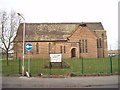
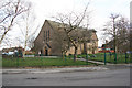
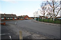
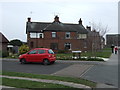
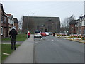
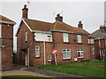
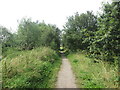
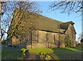
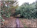
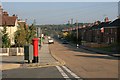
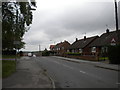

15 photos from this area
Area Information
Key information about the NG22 9UX including its size, population, and administrative classification.
- Area Type
- Postcode
- Area Size
- 2.0 hectares
- Population
- 1795
- Population Density
- 5250 people/km²
House Prices in NG22 9UX
49
Properties
£99,222
Average Sold Price
£19,600
Lowest Price
£230,000
Highest Price
Showing 49 properties
| Address | Type | Beds | Baths | Last Sale Price | Last Sale Date | |
|---|---|---|---|---|---|---|
| 326 Walesby Lane, Ollerton, NG22 9UX | Semi-detached | 4 | 2 | £230,000 | Sep 2025 | |
| 314 Walesby Lane, Ollerton, NG22 9UX | Semi-detached | 3 | 1 | £225,000 | Dec 2024 | |
| 258 Walesby Lane, Ollerton, NG22 9UX | Semi-detached | 3 | 1 | £116,500 | Nov 2024 | |
| 302 Walesby Lane, Ollerton, NG22 9UX | Semi-detached | 3 | 1 | £205,000 | Aug 2024 | |
| 270 Walesby Lane, Ollerton, NG22 9UX | Semi-detached | 3 | 1 | £151,000 | Nov 2023 | |
| 242 Walesby Lane, Ollerton, NG22 9UX | Detached | 3 | 1 | £140,000 | Oct 2022 | |
| 254 Walesby Lane, Ollerton, NG22 9UX | Semi-detached | 3 | 1 | £161,000 | Oct 2022 | |
| 274 Walesby Lane, Ollerton, NG22 9UX | house | - | - | £95,000 | Aug 2022 | |
| 266 Walesby Lane, Ollerton, NG22 9UX | Retail | 3 | 1 | £138,000 | Jul 2022 | |
| 260 Walesby Lane, Ollerton, NG22 9UX | Retail | 3 | 2 | £177,500 | May 2022 |
Page 1 of 5
Energy Efficiency in NG22 9UX
Amenities
Schools
| Rank | School | Type | Entry gender | Ages |
|---|
Explore more schools in this area
Go to Schools tabDemographics
Household Size
Family (3-5 people)
most common
Accommodation Type
Houses
most common
Tenure
63
majority
Ethnic Group
White
most common
Religion
N/A
most common
Household Composition
N/A
most common
Age
47
median
Adults (30-64 years)
most common
Household Deprivation
N/A
with no deprivation
NS-SEC
19
in Lower managerial occupations
Explore more demographic insights in this area
Go to Demographics tabPlanning
Planning Constraints
- Flood RiskPremium
- Ramsar Wetland SitesPremium
- Area of Outstanding Natural BeautyPremium
- Protected Nature ReservePremium
- Protected WoodlandPremium