Area Overview for NG22 9AX
Photos of NG22 9AX
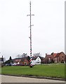
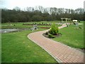
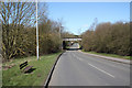
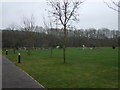
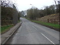
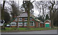
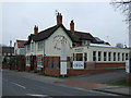
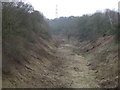
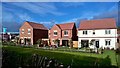
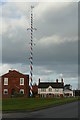
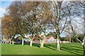
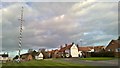
53 photos from this area
Area Information
Key information about the NG22 9AX including its size, population, and administrative classification.
- Area Type
- Postcode
- Area Size
- 9858 m²
- Population
- 1257
- Population Density
- 447 people/km²
House Prices in NG22 9AX
11
Properties
£290,735
Average Sold Price
£240,000
Lowest Price
£352,205
Highest Price
Showing 11 properties
| Address | Type | Beds | Baths | Last Sale Price | Last Sale Date | |
|---|---|---|---|---|---|---|
| Shireen, Wellow Road, Ollerton, NG22 9AX | Semi-detached | 3 | 1 | £352,205 | Feb 2025 | |
| Kiebra Cottage, 15 Wellow Road, Ollerton, NG22 9AX | Bungalow | 4 | 1 | £280,000 | Jan 2024 | |
| Janang, Wellow Road, Ollerton, NG22 9AX | Bungalow | 4 | 1 | £240,000 | May 2019 | |
| The Cottage, 247 Wellow Road, Ollerton, NG22 9AX | Bungalow | 4 | 1 | - | - | |
| The Long Mynd, Wellow Road, Ollerton, NG22 9AX | Detached | 5 | 4 | - | - | |
| Majeka, Wellow Road, Ollerton, NG22 9AX | Bungalow | 4 | - | - | - | |
| The Haven, Wellow Road, Ollerton, NG22 9AX | Detached | - | - | - | - | |
| Maltkiln House, Wellow Road, Ollerton, NG22 9AX | Detached | - | - | - | - | |
| The Beeches, Wellow Road, Ollerton, NG22 9AX | Detached | - | - | - | - | |
| Stretton Cottage, Wellow Road, Ollerton, NG22 9AX | Terraced | - | - | - | - |
Page 1 of 2
Energy Efficiency in NG22 9AX
Amenities
Schools
| Rank | School | Type | Entry gender | Ages |
|---|
Explore more schools in this area
Go to Schools tabDemographics
Household Size
Two person
most common
Accommodation Type
Houses
most common
Tenure
86
majority
Ethnic Group
White
most common
Religion
N/A
most common
Household Composition
N/A
most common
Age
47
median
Elderly (65+ years)
most common
Household Deprivation
N/A
with no deprivation
NS-SEC
30
in Lower managerial occupations
Explore more demographic insights in this area
Go to Demographics tabPlanning
Planning Constraints
- Flood RiskPremium
- Ramsar Wetland SitesPremium
- Area of Outstanding Natural BeautyPremium
- Protected Nature ReservePremium
- Protected WoodlandPremium