Area Overview for NG21 9QS
Photos of NG21 9QS
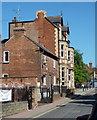
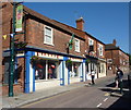
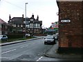
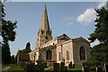
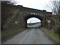
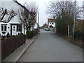
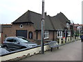
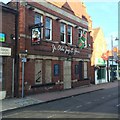
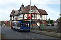
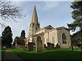
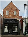
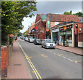
90 photos from this area
Area Information
Key information about the NG21 9QS including its size, population, and administrative classification.
- Area Type
- Postcode
- Area Size
- 1.9 hectares
- Population
- 1713
- Population Density
- 3975 people/km²
House Prices in NG21 9QS
27
Properties
£151,466
Average Sold Price
£125,000
Lowest Price
£200,000
Highest Price
Showing 27 properties
| Address | Type | Beds | Baths | Last Sale Price | Last Sale Date | |
|---|---|---|---|---|---|---|
| 2 High Street, Edwinstowe, NG21 9QS | Flat | 1 | 1 | £130,000 | Jul 2024 | |
| 10 High Street, Edwinstowe, NG21 9QS | Terraced | 3 | 2 | £150,862 | Aug 2023 | |
| 4 High Street, Edwinstowe, NG21 9QS | house | 2 | - | £125,000 | Sep 2022 | |
| The Bungalow, High Street, Edwinstowe, NG21 9QS | Semi-detached | - | - | £200,000 | Jan 2017 | |
| 1, The Old Methodist Chapel, High Street, Edwinstowe, NG21 9QS | Flat | - | - | - | - | |
| Brambly Homes, Unit 3, The Old Library, 40 High Street, Edwinstowe, NG21 9QS | retail_financial | - | - | - | - | |
| Unit 2, The Old Library, 40 High Street, Edwinstowe, NG21 9QS | retail_financial | - | - | - | - | |
| Barn Adjacent, 20A High Street, Edwinstowe, NG21 9QS | Semi-detached | - | - | - | - | |
| Ground Floor Flat, High Street, Edwinstowe, NG21 9QS | Flat | - | - | - | - | |
| 8 High Street, Edwinstowe, NG21 9QS | house | - | - | - | - |
Page 1 of 3
Energy Efficiency in NG21 9QS
Amenities
Schools
| Rank | School | Type | Entry gender | Ages |
|---|
Explore more schools in this area
Go to Schools tabDemographics
Household Size
Two person
most common
Accommodation Type
Houses
most common
Tenure
69
majority
Ethnic Group
White
most common
Religion
N/A
most common
Household Composition
N/A
most common
Age
47
median
Adults (30-64 years)
most common
Household Deprivation
N/A
with no deprivation
NS-SEC
25
in Lower managerial occupations
Explore more demographic insights in this area
Go to Demographics tabPlanning
Planning Constraints
- Flood RiskPremium
- Ramsar Wetland SitesPremium
- Area of Outstanding Natural BeautyPremium
- Protected Nature ReservePremium
- Protected WoodlandPremium