Area Overview for NG21 0PE
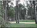
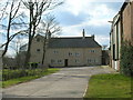
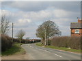
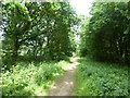
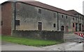
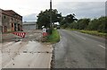
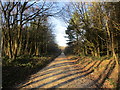
Photos of NG21 0PE
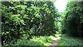
![Cereal field on the south side of Baulker Lane [1] in NG21 0PE](https://images.propbar.co.uk/images/geograph/35/03/3503871_120.jpg)
![Baulker Lane [1] in NG21 0PE](https://images.propbar.co.uk/images/geograph/35/03/3503491_120.jpg)
![Baulker Lane [2] in NG21 0PE](https://images.propbar.co.uk/images/geograph/35/03/3503890_120.jpg)
12 photos from this area
Area Information
Key information about the NG21 0PE including its size, population, and administrative classification.
- Area Type
- Postcode
- Area Size
- 1.2 km²
- Population
- 1454
- Population Density
- 232 people/km²
House Prices in NG21 0PE
6
Properties
-
Average Sold Price
-
Lowest Price
-
Highest Price
Showing 6 properties
| Address | Type | Beds | Baths | Last Sale Price | Last Sale Date | |
|---|---|---|---|---|---|---|
| 2, Haywood Oaks Farm Cottages, Haywood Oaks Lane, Blidworth, NG21 0PE | Terraced | - | - | - | - | |
| 1, Haywood Oaks Farm Cottages, Haywood Oaks Lane, Blidworth, NG21 0PE | house | - | - | - | - | |
| 3, Haywood Oaks Farm Cottages, Haywood Oaks Lane, Blidworth, NG21 0PE | Terraced | - | - | - | - | |
| Field Reference Number 2211, Haywood Oaks Lane, Blidworth, NG21 0PE | Industrial | - | - | - | - | |
| Haywood Oaks Lodge, Haywood Oaks Lane, Blidworth, NG21 0PE | Semi-detached | - | - | - | - | |
| Serenity Garden Rooms Ltd, Haywood Oaks Farm, Haywood Oaks Lane, Blidworth, NG21 0PE | Farm | - | - | - | - |
Energy Efficiency in NG21 0PE
Amenities
Schools
| Rank | School | Type | Entry gender | Ages |
|---|
Explore more schools in this area
Go to Schools tabDemographics
Household Size
One person
most common
Accommodation Type
Houses
most common
Tenure
57
majority
Ethnic Group
White
most common
Religion
N/A
most common
Household Composition
N/A
most common
Age
47
median
Adults (30-64 years)
most common
Household Deprivation
N/A
with no deprivation
NS-SEC
22
in Lower managerial occupations
Explore more demographic insights in this area
Go to Demographics tabPlanning
Planning Constraints
- Flood RiskPremium
- Ramsar Wetland SitesPremium
- Area of Outstanding Natural BeautyPremium
- Protected Nature ReservePremium
- Protected WoodlandPremium