Area Overview for NG21 0DA
Photos of NG21 0DA
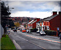
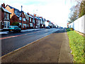
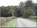
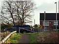
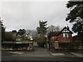
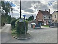
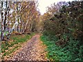

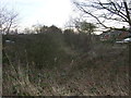
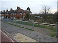
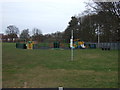
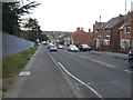
18 photos from this area
Area Information
Key information about the NG21 0DA including its size, population, and administrative classification.
- Area Type
- Postcode
- Area Size
- 6170 m²
- Population
- 1330
- Population Density
- 1022 people/km²
House Prices in NG21 0DA
24
Properties
£83,438
Average Sold Price
£31,000
Lowest Price
£165,000
Highest Price
Showing 24 properties
| Address | Type | Beds | Baths | Last Sale Price | Last Sale Date | |
|---|---|---|---|---|---|---|
| 221 Southwell Road East, Rainworth, NG21 0DA | house | - | - | £128,000 | Feb 2025 | |
| 187 Southwell Road East, Rainworth, NG21 0DA | Semi-detached | 3 | 1 | £165,000 | Mar 2023 | |
| 215 Southwell Road East, Rainworth, NG21 0DA | Terraced | 3 | 1 | £83,000 | Jan 2018 | |
| 185 Southwell Road East, Rainworth, NG21 0DA | house | 3 | - | £70,500 | Jun 2013 | |
| 223 Southwell Road East, Rainworth, NG21 0DA | house | - | - | £73,000 | Apr 2007 | |
| 189 Southwell Road East, Rainworth, NG21 0DA | Semi-detached | - | - | £85,000 | Oct 2006 | |
| 183 Southwell Road East, Rainworth, NG21 0DA | house | 3 | - | £31,000 | Jul 1997 | |
| 175 Southwell Road East, Rainworth, NG21 0DA | Bungalow | 2 | - | £32,000 | Feb 1997 | |
| 209A Southwell Road East, Rainworth, NG21 0DA | Flat | 2 | 1 | - | - | |
| 211 Southwell Road East, Rainworth, NG21 0DA | house | 3 | 1 | - | - |
Page 1 of 3
Energy Efficiency in NG21 0DA
Amenities
Schools
| Rank | School | Type | Entry gender | Ages |
|---|
Explore more schools in this area
Go to Schools tabDemographics
Household Size
Two person
most common
Accommodation Type
Houses
most common
Tenure
76
majority
Ethnic Group
White
most common
Religion
N/A
most common
Household Composition
N/A
most common
Age
47
median
Adults (30-64 years)
most common
Household Deprivation
N/A
with no deprivation
NS-SEC
23
in Lower managerial occupations
Explore more demographic insights in this area
Go to Demographics tabPlanning
Planning Constraints
- Flood RiskPremium
- Ramsar Wetland SitesPremium
- Area of Outstanding Natural BeautyPremium
- Protected Nature ReservePremium
- Protected WoodlandPremium