Area Overview for NG20 9HS
Photos of NG20 9HS
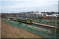
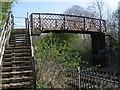
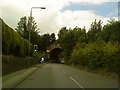
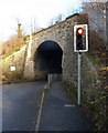
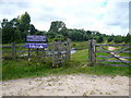
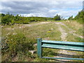
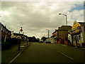
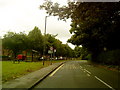
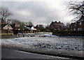
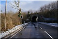
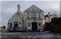
55 photos from this area
Area Information
Key information about the NG20 9HS including its size, population, and administrative classification.
- Area Type
- Postcode
- Area Size
- 55.9 hectares
- Population
- 1493
- Population Density
- 90 people/km²
House Prices in NG20 9HS
7
Properties
£201,667
Average Sold Price
£75,000
Lowest Price
£280,000
Highest Price
Showing 7 properties
| Address | Type | Beds | Baths | Last Sale Price | Last Sale Date | |
|---|---|---|---|---|---|---|
| The Gatehouse, 1 Whaley Road, Langwith, NG20 9HS | Detached | 4 | 2 | £250,000 | Nov 2023 | |
| 3 Whaley Road, Langwith, NG20 9HS | Detached | 4 | 2 | £280,000 | May 2023 | |
| Apsley Grange, Whaley Road, Langwith, NG20 9HS | Bungalow | 2 | 1 | £75,000 | Aug 1996 | |
| March Cottage Apsley Grange Farm, Whaley Road, Langwith, NG20 9HS | house | 5 | 2 | - | - | |
| Mill Pond House, Whaley Road, Langwith, NG20 9HS | house | 5 | - | - | - | |
| The Old Milking Parlour Apsley Grange Farm, Whaley Road, Langwith, NG20 9HS | Bungalow | - | - | - | - | |
| Chestnut View Barn Apsley Grange, Whaley Road, Langwith, NG20 9HS | Terraced | - | - | - | - |
Energy Efficiency in NG20 9HS
Amenities
Schools
| Rank | School | Type | Entry gender | Ages |
|---|
Explore more schools in this area
Go to Schools tabDemographics
Household Size
Two person
most common
Accommodation Type
Houses
most common
Tenure
66
majority
Ethnic Group
White
most common
Religion
N/A
most common
Household Composition
N/A
most common
Age
47
median
Adults (30-64 years)
most common
Household Deprivation
N/A
with no deprivation
NS-SEC
24
in Lower managerial occupations
Explore more demographic insights in this area
Go to Demographics tabPlanning
Planning Constraints
- Flood RiskPremium
- Ramsar Wetland SitesPremium
- Area of Outstanding Natural BeautyPremium
- Protected Nature ReservePremium
- Protected WoodlandPremium