Area Overview for NG20 8JP
Photos of NG20 8JP
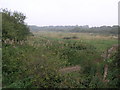
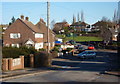
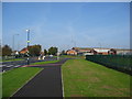
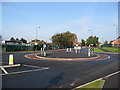
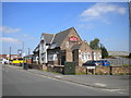
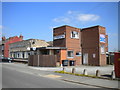
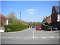
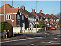
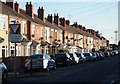
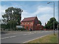
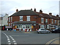
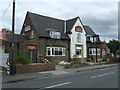
18 photos from this area
Area Information
Key information about the NG20 8JP including its size, population, and administrative classification.
- Area Type
- Postcode
- Area Size
- 2.8 hectares
- Population
- 1358
- Population Density
- 3299 people/km²
House Prices in NG20 8JP
11
Properties
£150,994
Average Sold Price
£80,000
Lowest Price
£285,000
Highest Price
Showing 11 properties
| Address | Type | Beds | Baths | Last Sale Price | Last Sale Date | |
|---|---|---|---|---|---|---|
| 69A Park Road, Shirebrook, NG20 8JP | Bungalow | - | - | £285,000 | Mar 2024 | |
| 29 Park Road, Shirebrook, NG20 8JP | Bungalow | - | - | £200,000 | Jan 2020 | |
| 25 Park Road, Shirebrook, NG20 8JP | Bungalow | 2 | 1 | £127,000 | Jan 2016 | |
| 69 Park Road, Shirebrook, NG20 8JP | house | 3 | 2 | £158,000 | Sep 2015 | |
| 67 Park Road, Shirebrook, NG20 8JP | Semi-detached | 3 | 1 | £95,000 | Nov 2014 | |
| 35 Park Road, Shirebrook, NG20 8JP | Detached | - | - | £120,000 | Sep 2010 | |
| 31A Park Road, Shirebrook, NG20 8JP | Bungalow | - | - | £142,950 | Jan 2007 | |
| 27 Park Road, Shirebrook, NG20 8JP | Detached | - | - | £80,000 | Sep 2002 | |
| 33 Park Road, Shirebrook, NG20 8JP | Bungalow | 2 | 1 | - | - | |
| 31 Park Road, Shirebrook, NG20 8JP | Bungalow | - | - | - | - |
Page 1 of 2
Energy Efficiency in NG20 8JP
Amenities
Schools
| Rank | School | Type | Entry gender | Ages |
|---|
Explore more schools in this area
Go to Schools tabDemographics
Household Size
Family (3-5 people)
most common
Accommodation Type
Houses
most common
Tenure
48
majority
Ethnic Group
White
most common
Religion
N/A
most common
Household Composition
N/A
most common
Age
47
median
Adults (30-64 years)
most common
Household Deprivation
N/A
with no deprivation
NS-SEC
12
in Lower managerial occupations
Explore more demographic insights in this area
Go to Demographics tabPlanning
Planning Constraints
- Flood RiskPremium
- Ramsar Wetland SitesPremium
- Area of Outstanding Natural BeautyPremium
- Protected Nature ReservePremium
- Protected WoodlandPremium