Area Overview for NG20 8DZ
Photos of NG20 8DZ
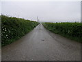
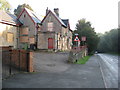
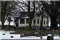
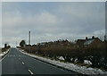
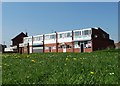
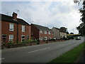
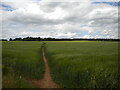
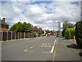
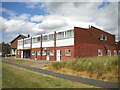
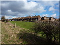
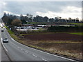
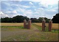
17 photos from this area
Area Information
Key information about the NG20 8DZ including its size, population, and administrative classification.
- Area Type
- Postcode
- Area Size
- 1.6 hectares
- Population
- 1534
- Population Density
- 1444 people/km²
House Prices in NG20 8DZ
31
Properties
£96,500
Average Sold Price
£36,000
Lowest Price
£160,000
Highest Price
Showing 31 properties
| Address | Type | Beds | Baths | Last Sale Price | Last Sale Date | |
|---|---|---|---|---|---|---|
| 22 Hillsway, Shirebrook, NG20 8DZ | Bungalow | 2 | - | £160,000 | Dec 2021 | |
| 5 Hillsway, Shirebrook, NG20 8DZ | Bungalow | 2 | 1 | £125,000 | Aug 2019 | |
| 2 Hillsway, Shirebrook, NG20 8DZ | Bungalow | 3 | 1 | £110,000 | Apr 2015 | |
| 7 Hillsway, Shirebrook, NG20 8DZ | Bungalow | 2 | - | £93,500 | Apr 2013 | |
| 16 Hillsway, Shirebrook, NG20 8DZ | Bungalow | - | - | £95,000 | Dec 2012 | |
| 19 Hillsway, Shirebrook, NG20 8DZ | Bungalow | - | - | £75,000 | Aug 2011 | |
| 36 Hillsway, Shirebrook, NG20 8DZ | Bungalow | 2 | - | £75,000 | Jul 2011 | |
| 3 Hillsway, Shirebrook, NG20 8DZ | Bungalow | - | - | £145,000 | Feb 2007 | |
| 38 Hillsway, Shirebrook, NG20 8DZ | Detached | - | - | £98,000 | Jun 2003 | |
| 34 Hillsway, Shirebrook, NG20 8DZ | Detached | - | - | £49,000 | Oct 1999 |
Page 1 of 4
Energy Efficiency in NG20 8DZ
Amenities
Schools
| Rank | School | Type | Entry gender | Ages |
|---|
Explore more schools in this area
Go to Schools tabDemographics
Household Size
Two person
most common
Accommodation Type
Houses
most common
Tenure
78
majority
Ethnic Group
White
most common
Religion
N/A
most common
Household Composition
N/A
most common
Age
47
median
Adults (30-64 years)
most common
Household Deprivation
N/A
with no deprivation
NS-SEC
30
in Lower managerial occupations
Explore more demographic insights in this area
Go to Demographics tabPlanning
Planning Constraints
- Flood RiskPremium
- Ramsar Wetland SitesPremium
- Area of Outstanding Natural BeautyPremium
- Protected Nature ReservePremium
- Protected WoodlandPremium