Area Overview for NG20 0SD
Photos of NG20 0SD
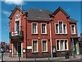
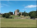
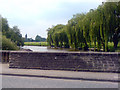
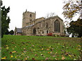
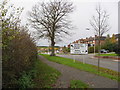
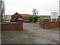
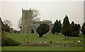
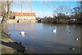
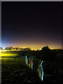
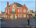
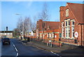
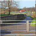
62 photos from this area
Area Information
Key information about the NG20 0SD including its size, population, and administrative classification.
- Area Type
- Postcode
- Area Size
- 2.6 hectares
- Population
- 1637
- Population Density
- 940 people/km²
House Prices in NG20 0SD
23
Properties
£268,571
Average Sold Price
£165,000
Lowest Price
£500,000
Highest Price
Showing 23 properties
| Address | Type | Beds | Baths | Last Sale Price | Last Sale Date | |
|---|---|---|---|---|---|---|
| 1 Eastlands Lane, Church Warsop, NG20 0SD | Detached | 3 | - | £500,000 | Mar 2025 | |
| 17 Eastlands Lane, Church Warsop, NG20 0SD | house | - | - | £240,000 | Jan 2020 | |
| 12 Eastlands Lane, Church Warsop, NG20 0SD | house | - | - | £275,000 | Aug 2019 | |
| White Rose Cottage, 24 Eastlands Lane, Church Warsop, NG20 0SD | Cottage | 4 | 2 | £325,000 | Sep 2018 | |
| 22 Eastlands Lane, Church Warsop, NG20 0SD | Bungalow | - | - | £185,000 | Apr 2011 | |
| 14 Eastlands Lane, Church Warsop, NG20 0SD | Detached | - | - | £190,000 | Jun 2006 | |
| 2 Eastlands Lane, Church Warsop, NG20 0SD | Retail | 3 | 1 | £165,000 | Apr 2006 | |
| 5 Eastlands Lane, Church Warsop, NG20 0SD | Detached | 3 | 1 | - | - | |
| 9 Eastlands Lane, Church Warsop, NG20 0SD | Detached | 3 | 1 | - | - | |
| 19 Eastlands Lane, Church Warsop, NG20 0SD | Bungalow | 4 | 2 | - | - |
Page 1 of 3
Energy Efficiency in NG20 0SD
Amenities
Schools
| Rank | School | Type | Entry gender | Ages |
|---|
Explore more schools in this area
Go to Schools tabDemographics
Household Size
Two person
most common
Accommodation Type
Houses
most common
Tenure
71
majority
Ethnic Group
White
most common
Religion
N/A
most common
Household Composition
N/A
most common
Age
47
median
Adults (30-64 years)
most common
Household Deprivation
N/A
with no deprivation
NS-SEC
21
in Lower managerial occupations
Explore more demographic insights in this area
Go to Demographics tabPlanning
Planning Constraints
- Flood RiskPremium
- Ramsar Wetland SitesPremium
- Area of Outstanding Natural BeautyPremium
- Protected Nature ReservePremium
- Protected WoodlandPremium