Area Overview for NG20 0PF
Photos of NG20 0PF
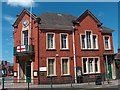
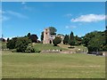
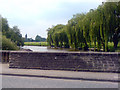
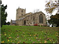
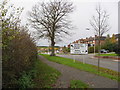
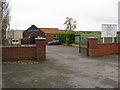
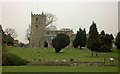
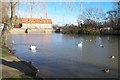
62 photos from this area
Area Information
Key information about the NG20 0PF including its size, population, and administrative classification.
- Area Type
- Postcode
- Area Size
- 2963 m²
- Population
- 1437
- Population Density
- 3882 people/km²
House Prices in NG20 0PF
9
Properties
£90,860
Average Sold Price
£22,800
Lowest Price
£140,000
Highest Price
Showing 9 properties
| Address | Type | Beds | Baths | Last Sale Price | Last Sale Date | |
|---|---|---|---|---|---|---|
| 23 Burns Lane, Warsop, NG20 0PF | Cottage | 2 | 1 | £140,000 | Sep 2024 | |
| 27 Burns Lane, Warsop, NG20 0PF | Cottage | 1 | 1 | £98,000 | Jun 2023 | |
| 51 Burns Lane, Warsop, NG20 0PF | house | - | - | £101,000 | Oct 2011 | |
| 25 Burns Lane, Warsop, NG20 0PF | house | - | - | £92,500 | Feb 2011 | |
| 49 Burns Lane, Warsop, NG20 0PF | house | - | - | £22,800 | Jun 1998 | |
| 29 Burns Lane, Warsop, NG20 0PF | house | - | - | - | - | |
| 31 Burns Lane, Warsop, NG20 0PF | Semi-detached | - | - | - | - | |
| 53 Burns Lane, Warsop, NG20 0PF | Detached | - | - | - | - | |
| Rear Of, Roadways, Burns Lane, Warsop, NG20 0PF | shop | - | - | - | - |
Energy Efficiency in NG20 0PF
Amenities
Schools
| Rank | School | Type | Entry gender | Ages |
|---|
Explore more schools in this area
Go to Schools tabDemographics
Household Size
Family (3-5 people)
most common
Accommodation Type
Houses
most common
Tenure
64
majority
Ethnic Group
White
most common
Religion
N/A
most common
Household Composition
N/A
most common
Age
47
median
Adults (30-64 years)
most common
Household Deprivation
N/A
with no deprivation
NS-SEC
26
in Lower managerial occupations
Explore more demographic insights in this area
Go to Demographics tabPlanning
Planning Constraints
- Flood RiskPremium
- Ramsar Wetland SitesPremium
- Area of Outstanding Natural BeautyPremium
- Protected Nature ReservePremium
- Protected WoodlandPremium