Area Overview for NG20 0NE
Photos of NG20 0NE
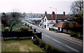
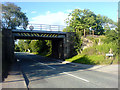
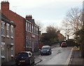
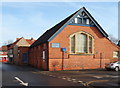
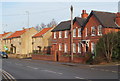
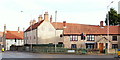
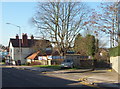
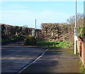
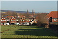
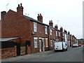
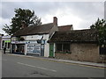
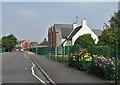
29 photos from this area
Area Information
Key information about the NG20 0NE including its size, population, and administrative classification.
- Area Type
- Postcode
- Area Size
- 6697 m²
- Population
- 1487
- Population Density
- 5361 people/km²
House Prices in NG20 0NE
22
Properties
£102,412
Average Sold Price
£26,500
Lowest Price
£298,000
Highest Price
Showing 22 properties
| Address | Type | Beds | Baths | Last Sale Price | Last Sale Date | |
|---|---|---|---|---|---|---|
| 49 Bainbridge Road, Warsop, NG20 0NE | Terraced | 3 | 1 | £90,000 | Jun 2025 | |
| 58 Bainbridge Road, Warsop, NG20 0NE | Detached | 4 | 2 | £298,000 | Feb 2025 | |
| 45 Bainbridge Road, Warsop, NG20 0NE | Semi-detached | 3 | 1 | £120,000 | Jun 2024 | |
| 52 Bainbridge Road, Warsop, NG20 0NE | house | 3 | 1 | £69,000 | Feb 2021 | |
| 56 Bainbridge Road, Warsop, NG20 0NE | Detached | 4 | - | £172,000 | Jun 2017 | |
| 68 Bainbridge Road, Warsop, NG20 0NE | Detached | 3 | 1 | £145,000 | Dec 2014 | |
| 44 Bainbridge Road, Warsop, NG20 0NE | house | 3 | - | £52,000 | Aug 2011 | |
| 51 Bainbridge Road, Warsop, NG20 0NE | house | - | - | £60,000 | Aug 2008 | |
| 50 Bainbridge Road, Warsop, NG20 0NE | house | 3 | 1 | £75,000 | Mar 2008 | |
| 46 Bainbridge Road, Warsop, NG20 0NE | house | - | - | £58,000 | Mar 2008 |
Page 1 of 3
Energy Efficiency in NG20 0NE
Amenities
Schools
| Rank | School | Type | Entry gender | Ages |
|---|
Explore more schools in this area
Go to Schools tabDemographics
Household Size
Family (3-5 people)
most common
Accommodation Type
Houses
most common
Tenure
42
majority
Ethnic Group
White
most common
Religion
N/A
most common
Household Composition
N/A
most common
Age
47
median
Adults (30-64 years)
most common
Household Deprivation
N/A
with no deprivation
NS-SEC
15
in Lower managerial occupations
Explore more demographic insights in this area
Go to Demographics tabPlanning
Planning Constraints
- Flood RiskPremium
- Ramsar Wetland SitesPremium
- Area of Outstanding Natural BeautyPremium
- Protected Nature ReservePremium
- Protected WoodlandPremium