Area Overview for NG2 7HY
Photos of NG2 7HY
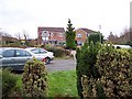
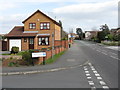
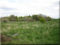
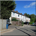
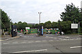
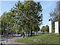
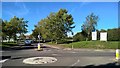
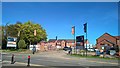
44 photos from this area
Area Information
Key information about the NG2 7HY including its size, population, and administrative classification.
- Area Type
- Postcode
- Area Size
- 3.1 hectares
- Population
- 2134
- Population Density
- 3361 people/km²
House Prices in NG2 7HY
54
Properties
£153,023
Average Sold Price
£48,500
Lowest Price
£355,000
Highest Price
Showing 54 properties
| Address | Type | Beds | Baths | Last Sale Price | Last Sale Date | |
|---|---|---|---|---|---|---|
| 88 Rugby Road, West Bridgford, NG2 7HY | Terraced | 4 | 2 | £355,000 | May 2025 | |
| 104 Rugby Road, West Bridgford, NG2 7HY | Flat | - | - | £185,000 | Apr 2023 | |
| 100 Rugby Road, West Bridgford, NG2 7HY | Terraced | 3 | 1 | £268,000 | Apr 2021 | |
| 102 Rugby Road, West Bridgford, NG2 7HY | Flat | 2 | 1 | £149,000 | Mar 2020 | |
| 108 Rugby Road, West Bridgford, NG2 7HY | Flat | 2 | 1 | £148,000 | Dec 2018 | |
| 96 Rugby Road, West Bridgford, NG2 7HY | Terraced | 3 | - | £164,000 | Jun 2014 | |
| 82 Rugby Road, West Bridgford, NG2 7HY | Terraced | - | - | £160,000 | Jun 2009 | |
| 98 Rugby Road, West Bridgford, NG2 7HY | house | - | - | £144,000 | Jul 2006 | |
| 90 Rugby Road, West Bridgford, NG2 7HY | Terraced | - | - | £158,000 | Nov 2005 | |
| 86 Rugby Road, West Bridgford, NG2 7HY | Terraced | - | - | £163,000 | Sep 2005 |
Page 1 of 6
Energy Efficiency in NG2 7HY
Amenities
Schools
| Rank | School | Type | Entry gender | Ages |
|---|
Explore more schools in this area
Go to Schools tabDemographics
Household Size
One person
most common
Accommodation Type
Houses
most common
Tenure
61
majority
Ethnic Group
White
most common
Religion
N/A
most common
Household Composition
N/A
most common
Age
47
median
Adults (30-64 years)
most common
Household Deprivation
N/A
with no deprivation
NS-SEC
40
in Lower managerial occupations
Explore more demographic insights in this area
Go to Demographics tabPlanning
Planning Constraints
- Flood RiskPremium
- Ramsar Wetland SitesPremium
- Area of Outstanding Natural BeautyPremium
- Protected Nature ReservePremium
- Protected WoodlandPremium