Area Overview for NG2 7FB
Photos of NG2 7FB
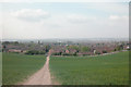
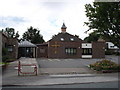
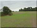
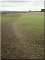
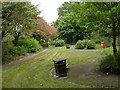
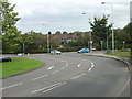
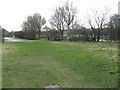
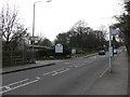
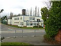
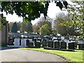
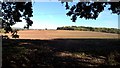
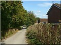
45 photos from this area
Area Information
Key information about the NG2 7FB including its size, population, and administrative classification.
- Area Type
- Postcode
- Area Size
- 1.4 hectares
- Population
- 2086
- Population Density
- 2540 people/km²
House Prices in NG2 7FB
11
Properties
£390,875
Average Sold Price
£175,000
Lowest Price
£494,999
Highest Price
Showing 11 properties
| Address | Type | Beds | Baths | Last Sale Price | Last Sale Date | |
|---|---|---|---|---|---|---|
| 320 Loughborough Road, West Bridgford, NG2 7FB | Semi-detached | 5 | 2 | £457,000 | Feb 2025 | |
| 318 Loughborough Road, West Bridgford, NG2 7FB | Semi-detached | 4 | 2 | £325,000 | Nov 2020 | |
| 322 Loughborough Road, West Bridgford, NG2 7FB | Detached | 4 | - | £415,000 | Jan 2014 | |
| 316 Loughborough Road, West Bridgford, NG2 7FB | house | 5 | - | £400,000 | Apr 2012 | |
| 310 Loughborough Road, West Bridgford, NG2 7FB | house | 4 | - | £370,000 | Sep 2011 | |
| 304 Loughborough Road, West Bridgford, NG2 7FB | house | 5 | - | £494,999 | Sep 2010 | |
| 314 Loughborough Road, West Bridgford, NG2 7FB | house | 5 | - | £490,000 | Feb 2008 | |
| 312 Loughborough Road, West Bridgford, NG2 7FB | house | - | - | £175,000 | Jan 2000 | |
| 306 Loughborough Road, West Bridgford, NG2 7FB | house | - | - | - | - | |
| 304A Loughborough Road, West Bridgford, NG2 7FB | Maisonette | - | - | - | - |
Page 1 of 2
Energy Efficiency in NG2 7FB
Amenities
Schools
| Rank | School | Type | Entry gender | Ages |
|---|
Explore more schools in this area
Go to Schools tabDemographics
Household Size
Two person
most common
Accommodation Type
Houses
most common
Tenure
90
majority
Ethnic Group
White
most common
Religion
N/A
most common
Household Composition
N/A
most common
Age
47
median
Adults (30-64 years)
most common
Household Deprivation
N/A
with no deprivation
NS-SEC
50
in Lower managerial occupations
Explore more demographic insights in this area
Go to Demographics tabPlanning
Planning Constraints
- Flood RiskPremium
- Ramsar Wetland SitesPremium
- Area of Outstanding Natural BeautyPremium
- Protected Nature ReservePremium
- Protected WoodlandPremium