Area Overview for NG2 7AF
Photos of NG2 7AF
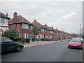
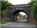
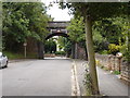
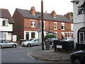
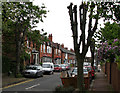
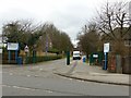
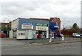
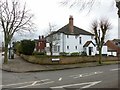
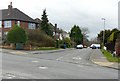
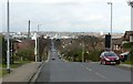
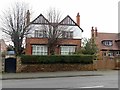
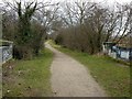
88 photos from this area
Area Information
Key information about the NG2 7AF including its size, population, and administrative classification.
- Area Type
- Postcode
- Area Size
- 2.2 hectares
- Population
- 1374
- Population Density
- 5900 people/km²
House Prices in NG2 7AF
24
Properties
£1,082,685
Average Sold Price
£159,950
Lowest Price
£2,870,000
Highest Price
Showing 24 properties
| Address | Type | Beds | Baths | Last Sale Price | Last Sale Date | |
|---|---|---|---|---|---|---|
| 123 Musters Road, West Bridgford, NG2 7AF | house | - | - | £230,000 | Jul 2025 | |
| 165 Musters Road, West Bridgford, NG2 7AF | Detached | 5 | 5 | £2,000,000 | Jun 2024 | |
| 161 Musters Road, West Bridgford, NG2 7AF | house | - | - | £1,300,000 | Jan 2022 | |
| The Bungalow, 159A Musters Road, West Bridgford, NG2 7AF | hospital_care_home | - | - | £2,870,000 | Nov 2021 | |
| 149 Musters Road, West Bridgford, NG2 7AF | house | - | - | £1,470,000 | Jun 2021 | |
| 145 Musters Road, West Bridgford, NG2 7AF | Detached | 6 | 3 | £1,125,000 | Dec 2016 | |
| 155 Musters Road, West Bridgford, NG2 7AF | house | - | - | £1,300,000 | Oct 2016 | |
| 151 Musters Road, West Bridgford, NG2 7AF | Detached | 4 | 3 | £835,000 | Oct 2015 | |
| 131 Musters Road, West Bridgford, NG2 7AF | Detached | 6 | - | £650,000 | Sep 2013 | |
| 163 Musters Road, West Bridgford, NG2 7AF | Detached | 6 | - | £775,000 | Jul 2012 |
Page 1 of 3
Energy Efficiency in NG2 7AF
Amenities
Schools
| Rank | School | Type | Entry gender | Ages |
|---|
Explore more schools in this area
Go to Schools tabDemographics
Household Size
Family (3-5 people)
most common
Accommodation Type
Houses
most common
Tenure
70
majority
Ethnic Group
White
most common
Religion
N/A
most common
Household Composition
N/A
most common
Age
47
median
Adults (30-64 years)
most common
Household Deprivation
N/A
with no deprivation
NS-SEC
52
in Lower managerial occupations
Explore more demographic insights in this area
Go to Demographics tabPlanning
Planning Constraints
- Flood RiskPremium
- Ramsar Wetland SitesPremium
- Area of Outstanding Natural BeautyPremium
- Protected Nature ReservePremium
- Protected WoodlandPremium