Area Overview for NG2 5FU
Photos of NG2 5FU

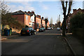
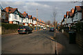
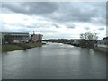
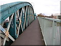
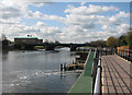
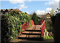
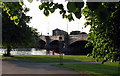
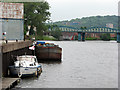
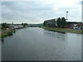

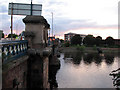
100 photos from this area
Area Information
Key information about the NG2 5FU including its size, population, and administrative classification.
- Area Type
- Postcode
- Area Size
- 1749 m²
- Population
- 1628
- Population Density
- 3202 people/km²
House Prices in NG2 5FU
9
Properties
£221,350
Average Sold Price
£126,000
Lowest Price
£267,000
Highest Price
Showing 9 properties
| Address | Type | Beds | Baths | Last Sale Price | Last Sale Date | |
|---|---|---|---|---|---|---|
| 10 Orston Road East, West Bridgford, NG2 5FU | house | 3 | 1 | £200,000 | May 2025 | |
| 2 Orston Road East, West Bridgford, NG2 5FU | Semi-detached | 3 | 1 | £248,750 | Mar 2025 | |
| 8 Orston Road East, West Bridgford, NG2 5FU | house | - | - | £265,000 | Mar 2022 | |
| 6 Orston Road East, West Bridgford, NG2 5FU | house | 3 | - | £267,000 | Jun 2021 | |
| 4 Orston Road East, West Bridgford, NG2 5FU | house | 3 | 1 | £126,000 | Jul 2003 | |
| 12 Orston Road East, West Bridgford, NG2 5FU | house | - | - | - | - | |
| Trentside Depot, Scarrington Road, West Bridgford, NG2 5FU | Office | - | - | - | - | |
| Food Hawker Pitch 2, Orston Road East, West Bridgford, NG2 5FU | Restaurant | - | - | - | - | |
| New Modular Building At Environment Agency, Scarrington Road, West Bridgford, NG2 5FU | Office | - | - | - | - |
Energy Efficiency in NG2 5FU
Amenities
Schools
| Rank | School | Type | Entry gender | Ages |
|---|
Explore more schools in this area
Go to Schools tabDemographics
Household Size
One person
most common
Accommodation Type
Flats
most common
Tenure
34
majority
Ethnic Group
White
most common
Religion
N/A
most common
Household Composition
N/A
most common
Age
22
median
Young Adults (15-29 years)
most common
Household Deprivation
N/A
with no deprivation
NS-SEC
39
in Lower managerial occupations
Explore more demographic insights in this area
Go to Demographics tabPlanning
Planning Constraints
- Flood RiskPremium
- Ramsar Wetland SitesPremium
- Area of Outstanding Natural BeautyPremium
- Protected Nature ReservePremium
- Protected WoodlandPremium