Area Overview for NG2 5AL
Photos of NG2 5AL
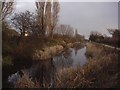
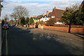
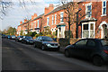
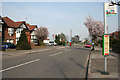
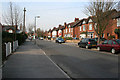
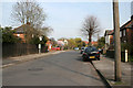
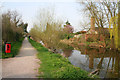
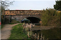
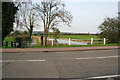
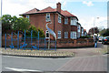
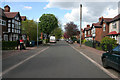
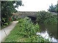
100 photos from this area
Area Information
Key information about the NG2 5AL including its size, population, and administrative classification.
- Area Type
- Postcode
- Area Size
- 1.9 hectares
- Population
- 1748
- Population Density
- 6677 people/km²
House Prices in NG2 5AL
45
Properties
£311,692
Average Sold Price
£88,000
Lowest Price
£600,000
Highest Price
Showing 45 properties
| Address | Type | Beds | Baths | Last Sale Price | Last Sale Date | |
|---|---|---|---|---|---|---|
| 75 Julian Road, West Bridgford, NG2 5AL | Semi-detached | 4 | 2 | £600,000 | May 2025 | |
| 99 Julian Road, West Bridgford, NG2 5AL | Bungalow | 3 | 2 | £575,000 | Feb 2025 | |
| 105 Julian Road, West Bridgford, NG2 5AL | Detached | 2 | 1 | £562,500 | Mar 2023 | |
| 115 Julian Road, West Bridgford, NG2 5AL | Detached | 5 | 2 | £570,000 | Nov 2022 | |
| 97 Julian Road, West Bridgford, NG2 5AL | house | - | - | £525,000 | Jun 2021 | |
| 149 Julian Road, West Bridgford, NG2 5AL | house | - | - | £318,000 | Jun 2021 | |
| 147 Julian Road, West Bridgford, NG2 5AL | Semi-detached | 3 | 1 | £325,000 | Jun 2020 | |
| 139 Julian Road, West Bridgford, NG2 5AL | Semi-detached | 3 | 1 | £295,000 | May 2019 | |
| 131 Julian Road, West Bridgford, NG2 5AL | Bungalow | 2 | 1 | £340,000 | Apr 2019 | |
| 73 Julian Road, West Bridgford, NG2 5AL | Detached | 3 | 1 | £365,000 | Dec 2018 |
Page 1 of 5
Energy Efficiency in NG2 5AL
Amenities
Schools
| Rank | School | Type | Entry gender | Ages |
|---|
Explore more schools in this area
Go to Schools tabDemographics
Household Size
Family (3-5 people)
most common
Accommodation Type
Houses
most common
Tenure
82
majority
Ethnic Group
White
most common
Religion
N/A
most common
Household Composition
N/A
most common
Age
47
median
Adults (30-64 years)
most common
Household Deprivation
N/A
with no deprivation
NS-SEC
56
in Lower managerial occupations
Explore more demographic insights in this area
Go to Demographics tabPlanning
Planning Constraints
- Flood RiskPremium
- Ramsar Wetland SitesPremium
- Area of Outstanding Natural BeautyPremium
- Protected Nature ReservePremium
- Protected WoodlandPremium