Area Overview for NG2 2NP
Photos of NG2 2NP
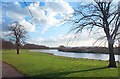
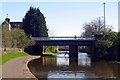
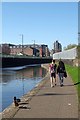
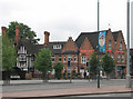
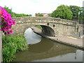
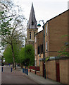

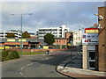
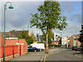
100 photos from this area
Area Information
Key information about the NG2 2NP including its size, population, and administrative classification.
- Area Type
- Postcode
- Area Size
- 1.2 hectares
- Population
- 2003
- Population Density
- 8777 people/km²
House Prices in NG2 2NP
49
Properties
£80,964
Average Sold Price
£16,000
Lowest Price
£155,000
Highest Price
Showing 49 properties
| Address | Type | Beds | Baths | Last Sale Price | Last Sale Date | |
|---|---|---|---|---|---|---|
| 70 Sandays Close, Nottingham, NG2 2NP | house | 3 | - | £140,000 | Aug 2025 | |
| 58 Sandays Close, Nottingham, NG2 2NP | Terraced | - | - | £65,000 | Dec 2021 | |
| 62 Sandays Close, Nottingham, NG2 2NP | Flat | - | - | £90,000 | Dec 2021 | |
| 48 Sandays Close, Nottingham, NG2 2NP | house | - | - | £155,000 | Oct 2021 | |
| 38 Sandays Close, Nottingham, NG2 2NP | house | - | - | £126,000 | Aug 2020 | |
| 46 Sandays Close, Nottingham, NG2 2NP | Maisonette | 1 | 1 | £53,000 | Feb 2015 | |
| 10 Sandays Close, Nottingham, NG2 2NP | Terraced | 3 | - | £85,000 | May 2014 | |
| 80 Sandays Close, Nottingham, NG2 2NP | Terraced | 2 | - | £76,000 | Mar 2014 | |
| 88 Sandays Close, Nottingham, NG2 2NP | Terraced | 3 | - | £87,000 | Feb 2014 | |
| 22 Sandays Close, Nottingham, NG2 2NP | Terraced | - | - | £75,000 | Nov 2007 |
Page 1 of 5
Energy Efficiency in NG2 2NP
Amenities
Schools
| Rank | School | Type | Entry gender | Ages |
|---|
Explore more schools in this area
Go to Schools tabDemographics
Household Size
One person
most common
Accommodation Type
Houses
most common
Tenure
48
majority
Ethnic Group
White
most common
Religion
N/A
most common
Household Composition
N/A
most common
Age
47
median
Adults (30-64 years)
most common
Household Deprivation
N/A
with no deprivation
NS-SEC
20
in Lower managerial occupations
Explore more demographic insights in this area
Go to Demographics tabPlanning
Planning Constraints
- Flood RiskPremium
- Ramsar Wetland SitesPremium
- Area of Outstanding Natural BeautyPremium
- Protected Nature ReservePremium
- Protected WoodlandPremium