Area Overview for NG2 2EU
Photos of NG2 2EU
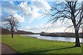
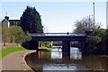
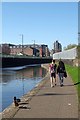
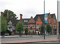
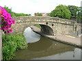
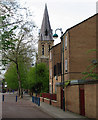

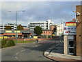
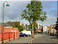
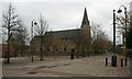
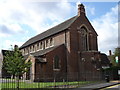
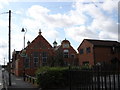
100 photos from this area
Area Information
Key information about the NG2 2EU including its size, population, and administrative classification.
- Area Type
- Postcode
- Area Size
- 4204 m²
- Population
- 1785
- Population Density
- 14560 people/km²
House Prices in NG2 2EU
38
Properties
£104,600
Average Sold Price
£37,000
Lowest Price
£215,000
Highest Price
Showing 38 properties
| Address | Type | Beds | Baths | Last Sale Price | Last Sale Date | |
|---|---|---|---|---|---|---|
| 85 Holgate Road, Nottingham, NG2 2EU | Terraced | 3 | 1 | £215,000 | Feb 2024 | |
| 67 Holgate Road, Nottingham, NG2 2EU | house | - | - | £100,000 | Mar 2021 | |
| 91 Holgate Road, Nottingham, NG2 2EU | Terraced | 4 | 1 | £125,000 | Jan 2019 | |
| 77 Holgate Road, Nottingham, NG2 2EU | house | - | - | £117,000 | May 2015 | |
| 55 Holgate Road, Nottingham, NG2 2EU | house | - | - | £90,000 | May 2012 | |
| 81 Holgate Road, Nottingham, NG2 2EU | house | 3 | - | £105,000 | Jul 2011 | |
| 57 Holgate Road, Nottingham, NG2 2EU | house | - | - | £86,000 | Aug 2007 | |
| 92 Holgate Road, Nottingham, NG2 2EU | Semi-detached | 7 | 2 | £115,000 | Jun 2006 | |
| Living Accommodation Over, 93 Holgate Road, Nottingham, NG2 2EU | Flat | - | - | £56,000 | Aug 2002 | |
| 89 Holgate Road, Nottingham, NG2 2EU | Terraced | 3 | 1 | £37,000 | Dec 1999 |
Page 1 of 4
Energy Efficiency in NG2 2EU
Amenities
Schools
| Rank | School | Type | Entry gender | Ages |
|---|
Explore more schools in this area
Go to Schools tabDemographics
Household Size
Family (3-5 people)
most common
Accommodation Type
Houses
most common
Tenure
44
majority
Ethnic Group
White
most common
Religion
N/A
most common
Household Composition
N/A
most common
Age
22
median
Adults (30-64 years)
most common
Household Deprivation
N/A
with no deprivation
NS-SEC
25
in Lower managerial occupations
Explore more demographic insights in this area
Go to Demographics tabPlanning
Planning Constraints
- Flood RiskPremium
- Ramsar Wetland SitesPremium
- Area of Outstanding Natural BeautyPremium
- Protected Nature ReservePremium
- Protected WoodlandPremium