Area Overview for NG19 9JR
Photos of NG19 9JR
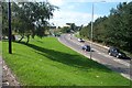
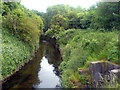
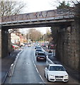
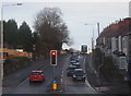

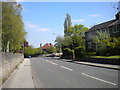
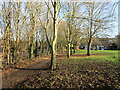
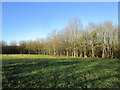
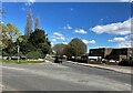
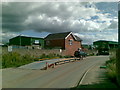
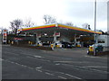
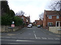
18 photos from this area
Area Information
Key information about the NG19 9JR including its size, population, and administrative classification.
- Area Type
- Postcode
- Area Size
- 1.8 hectares
- Population
- 1455
- Population Density
- 2142 people/km²
House Prices in NG19 9JR
36
Properties
£97,000
Average Sold Price
£32,000
Lowest Price
£190,000
Highest Price
Showing 36 properties
| Address | Type | Beds | Baths | Last Sale Price | Last Sale Date | |
|---|---|---|---|---|---|---|
| 21 Burns Avenue, Mansfield Woodhouse, NG19 9JR | house | - | - | £190,000 | Oct 2024 | |
| 23 Burns Avenue, Mansfield Woodhouse, NG19 9JR | Semi-detached | 3 | 1 | £165,000 | Sep 2024 | |
| 37 Burns Avenue, Mansfield Woodhouse, NG19 9JR | Bungalow | 2 | 1 | £172,000 | May 2023 | |
| 12 Burns Avenue, Mansfield Woodhouse, NG19 9JR | Semi-detached | - | - | £51,000 | Nov 2021 | |
| 35 Burns Avenue, Mansfield Woodhouse, NG19 9JR | Bungalow | 2 | - | £114,000 | Jul 2015 | |
| 5 Burns Avenue, Mansfield Woodhouse, NG19 9JR | Semi-detached | 3 | - | £78,500 | Feb 2014 | |
| 16 Burns Avenue, Mansfield Woodhouse, NG19 9JR | house | 3 | - | £64,000 | Apr 2012 | |
| 9 Burns Avenue, Mansfield Woodhouse, NG19 9JR | house | - | - | £75,000 | Oct 2010 | |
| 33 Burns Avenue, Mansfield Woodhouse, NG19 9JR | Detached | - | - | £82,500 | Jun 2009 | |
| 1 Burns Avenue, Mansfield Woodhouse, NG19 9JR | Semi-detached | - | - | £95,000 | Sep 2007 |
Page 1 of 4
Energy Efficiency in NG19 9JR
Amenities
Schools
| Rank | School | Type | Entry gender | Ages |
|---|
Explore more schools in this area
Go to Schools tabDemographics
Household Size
Two person
most common
Accommodation Type
Houses
most common
Tenure
77
majority
Ethnic Group
White
most common
Religion
N/A
most common
Household Composition
N/A
most common
Age
47
median
Adults (30-64 years)
most common
Household Deprivation
N/A
with no deprivation
NS-SEC
30
in Lower managerial occupations
Explore more demographic insights in this area
Go to Demographics tabPlanning
Planning Constraints
- Flood RiskPremium
- Ramsar Wetland SitesPremium
- Area of Outstanding Natural BeautyPremium
- Protected Nature ReservePremium
- Protected WoodlandPremium