Area Overview for NG19 8PX
Photos of NG19 8PX

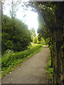
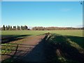
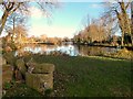
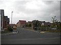
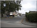
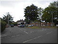
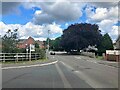
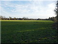
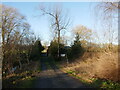
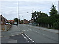
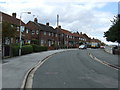
17 photos from this area
Area Information
Key information about the NG19 8PX including its size, population, and administrative classification.
- Area Type
- Postcode
- Area Size
- 8643 m²
- Population
- 1372
- Population Density
- 3394 people/km²
House Prices in NG19 8PX
17
Properties
£129,063
Average Sold Price
£42,500
Lowest Price
£220,000
Highest Price
Showing 17 properties
| Address | Type | Beds | Baths | Last Sale Price | Last Sale Date | |
|---|---|---|---|---|---|---|
| 97 Park Hall Road, Mansfield Woodhouse, NG19 8PX | Semi-detached | 2 | 1 | £143,000 | Apr 2024 | |
| 103 Park Hall Road, Mansfield Woodhouse, NG19 8PX | house | - | - | £145,000 | Nov 2023 | |
| 95 Park Hall Road, Mansfield Woodhouse, NG19 8PX | house | - | - | £125,000 | Sep 2022 | |
| 79 Park Hall Road, Mansfield Woodhouse, NG19 8PX | house | - | - | £140,000 | Sep 2022 | |
| 83 Park Hall Road, Mansfield Woodhouse, NG19 8PX | Detached | 5 | - | £220,000 | Dec 2015 | |
| 75 Park Hall Road, Mansfield Woodhouse, NG19 8PX | house | - | - | £82,000 | Feb 2013 | |
| 77 Park Hall Road, Mansfield Woodhouse, NG19 8PX | house | - | - | £135,000 | Nov 2004 | |
| 91 Park Hall Road, Mansfield Woodhouse, NG19 8PX | Semi-detached | - | - | £42,500 | Nov 1997 | |
| 93 Park Hall Road, Mansfield Woodhouse, NG19 8PX | Semi-detached | 2 | 1 | - | - | |
| 87A Park Hall Road, Mansfield Woodhouse, NG19 8PX | house | 3 | - | - | - |
Page 1 of 2
Energy Efficiency in NG19 8PX
Amenities
Schools
| Rank | School | Type | Entry gender | Ages |
|---|
Explore more schools in this area
Go to Schools tabDemographics
Household Size
Two person
most common
Accommodation Type
Houses
most common
Tenure
73
majority
Ethnic Group
White
most common
Religion
N/A
most common
Household Composition
N/A
most common
Age
47
median
Adults (30-64 years)
most common
Household Deprivation
N/A
with no deprivation
NS-SEC
19
in Lower managerial occupations
Explore more demographic insights in this area
Go to Demographics tabPlanning
Planning Constraints
- Flood RiskPremium
- Ramsar Wetland SitesPremium
- Area of Outstanding Natural BeautyPremium
- Protected Nature ReservePremium
- Protected WoodlandPremium