Area Overview for NG19 7HT
Photos of NG19 7HT
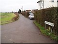
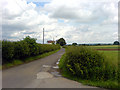
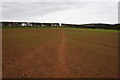
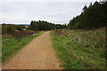
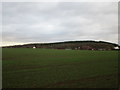
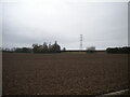
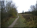
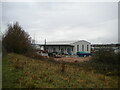
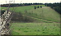
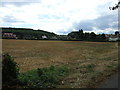
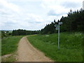
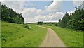
15 photos from this area
Area Information
Key information about the NG19 7HT including its size, population, and administrative classification.
- Area Type
- Postcode
- Area Size
- 15.3 hectares
- Population
- 1201
- Population Density
- 2583 people/km²
House Prices in NG19 7HT
44
Properties
£95,825
Average Sold Price
£32,950
Lowest Price
£174,500
Highest Price
Showing 44 properties
| Address | Type | Beds | Baths | Last Sale Price | Last Sale Date | |
|---|---|---|---|---|---|---|
| 128 Burlington Drive, Mansfield, NG19 7HT | Detached | 3 | 1 | £168,000 | May 2025 | |
| 46 Burlington Drive, Mansfield, NG19 7HT | Retail | 3 | 1 | £174,500 | May 2022 | |
| 48 Burlington Drive, Mansfield, NG19 7HT | Semi-detached | 4 | - | £105,000 | Feb 2013 | |
| 120 Burlington Drive, Mansfield, NG19 7HT | Flat | - | - | £37,000 | Jan 2011 | |
| 114 Burlington Drive, Mansfield, NG19 7HT | Flat | 2 | 1 | £57,500 | Jan 2004 | |
| 52 Burlington Drive, Mansfield, NG19 7HT | house | - | - | £32,950 | Aug 1998 | |
| 112 Burlington Drive, Mansfield, NG19 7HT | Flat | 2 | 1 | - | - | |
| 58 Burlington Drive, Mansfield, NG19 7HT | Bungalow | - | - | - | - | |
| 50 Burlington Drive, Mansfield, NG19 7HT | house | - | - | - | - | |
| 68 Burlington Drive, Mansfield, NG19 7HT | Bungalow | - | - | - | - |
Page 1 of 5
Energy Efficiency in NG19 7HT
Amenities
Schools
| Rank | School | Type | Entry gender | Ages |
|---|
Explore more schools in this area
Go to Schools tabDemographics
Household Size
Two person
most common
Accommodation Type
Houses
most common
Tenure
57
majority
Ethnic Group
White
most common
Religion
N/A
most common
Household Composition
N/A
most common
Age
47
median
Adults (30-64 years)
most common
Household Deprivation
N/A
with no deprivation
NS-SEC
20
in Lower managerial occupations
Explore more demographic insights in this area
Go to Demographics tabPlanning
Planning Constraints
- Flood RiskPremium
- Ramsar Wetland SitesPremium
- Area of Outstanding Natural BeautyPremium
- Protected Nature ReservePremium
- Protected WoodlandPremium