Area Overview for NG19 6QL
Photos of NG19 6QL
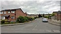
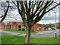
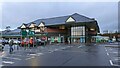
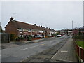
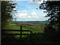
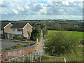
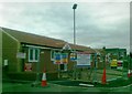
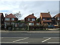
24 photos from this area
Area Information
Key information about the NG19 6QL including its size, population, and administrative classification.
- Area Type
- Postcode
- Area Size
- 6052 m²
- Population
- 1360
- Population Density
- 6104 people/km²
House Prices in NG19 6QL
17
Properties
£105,208
Average Sold Price
£65,000
Lowest Price
£173,000
Highest Price
Showing 17 properties
| Address | Type | Beds | Baths | Last Sale Price | Last Sale Date | |
|---|---|---|---|---|---|---|
| 266 Ladybrook Lane, Mansfield, NG19 6QL | Semi-detached | 3 | 1 | £150,000 | Jul 2023 | |
| 268 Ladybrook Lane, Mansfield, NG19 6QL | Semi-detached | 3 | 1 | £173,000 | Feb 2023 | |
| 296 Ladybrook Lane, Mansfield, NG19 6QL | Flat | - | - | £65,000 | Jul 2019 | |
| 278 Ladybrook Lane, Mansfield, NG19 6QL | Semi-detached | 3 | 1 | £94,500 | Jun 2018 | |
| 284 Ladybrook Lane, Mansfield, NG19 6QL | Semi-detached | 3 | 1 | £77,000 | Jun 2010 | |
| 294 Ladybrook Lane, Mansfield, NG19 6QL | Flat | - | - | £71,750 | Mar 2007 | |
| 270 Ladybrook Lane, Mansfield, NG19 6QL | house | - | - | - | - | |
| 272 Ladybrook Lane, Mansfield, NG19 6QL | house | - | - | - | - | |
| 292 Ladybrook Lane, Mansfield, NG19 6QL | Flat | - | - | - | - | |
| 290 Ladybrook Lane, Mansfield, NG19 6QL | Bungalow | - | - | - | - |
Page 1 of 2
Energy Efficiency in NG19 6QL
Amenities
Schools
| Rank | School | Type | Entry gender | Ages |
|---|
Explore more schools in this area
Go to Schools tabDemographics
Household Size
One person
most common
Accommodation Type
Houses
most common
Tenure
49
majority
Ethnic Group
White
most common
Religion
N/A
most common
Household Composition
N/A
most common
Age
47
median
Adults (30-64 years)
most common
Household Deprivation
N/A
with no deprivation
NS-SEC
17
in Lower managerial occupations
Explore more demographic insights in this area
Go to Demographics tabPlanning
Planning Constraints
- Flood RiskPremium
- Ramsar Wetland SitesPremium
- Area of Outstanding Natural BeautyPremium
- Protected Nature ReservePremium
- Protected WoodlandPremium