Area Overview for NG19 6QB
Photos of NG19 6QB
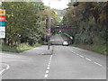
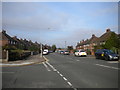
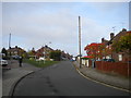
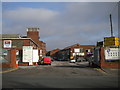
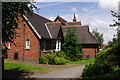
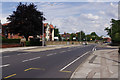
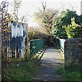
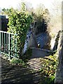
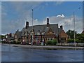
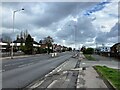
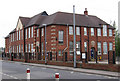
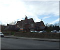
19 photos from this area
Area Information
Key information about the NG19 6QB including its size, population, and administrative classification.
- Area Type
- Postcode
- Area Size
- 1.0 hectares
- Population
- 1360
- Population Density
- 6104 people/km²
House Prices in NG19 6QB
33
Properties
£93,015
Average Sold Price
£24,650
Lowest Price
£146,000
Highest Price
Showing 33 properties
| Address | Type | Beds | Baths | Last Sale Price | Last Sale Date | |
|---|---|---|---|---|---|---|
| 67 Langford Road, Mansfield, NG19 6QB | Terraced | 3 | 1 | £146,000 | Mar 2023 | |
| 61 Langford Road, Mansfield, NG19 6QB | Semi-detached | 2 | 1 | £126,500 | Feb 2023 | |
| 103 Langford Road, Mansfield, NG19 6QB | Semi-detached | 2 | 2 | £140,000 | Mar 2022 | |
| 89 Langford Road, Mansfield, NG19 6QB | Semi-detached | 2 | 1 | £95,000 | Jun 2018 | |
| 95 Langford Road, Mansfield, NG19 6QB | Terraced | 3 | 1 | £110,000 | Apr 2018 | |
| 83 Langford Road, Mansfield, NG19 6QB | Terraced | 3 | - | £85,000 | Jan 2014 | |
| 87 Langford Road, Mansfield, NG19 6QB | Semi-detached | 2 | - | £73,000 | Jun 2013 | |
| 55 Langford Road, Mansfield, NG19 6QB | house | - | - | £85,000 | Mar 2007 | |
| 77 Langford Road, Mansfield, NG19 6QB | house | - | - | £45,000 | Jul 2002 | |
| 51 Langford Road, Mansfield, NG19 6QB | Detached | - | - | £24,650 | May 1996 |
Page 1 of 4
Energy Efficiency in NG19 6QB
Amenities
Schools
| Rank | School | Type | Entry gender | Ages |
|---|
Explore more schools in this area
Go to Schools tabDemographics
Household Size
One person
most common
Accommodation Type
Houses
most common
Tenure
49
majority
Ethnic Group
White
most common
Religion
N/A
most common
Household Composition
N/A
most common
Age
47
median
Adults (30-64 years)
most common
Household Deprivation
N/A
with no deprivation
NS-SEC
17
in Lower managerial occupations
Explore more demographic insights in this area
Go to Demographics tabPlanning
Planning Constraints
- Flood RiskPremium
- Ramsar Wetland SitesPremium
- Area of Outstanding Natural BeautyPremium
- Protected Nature ReservePremium
- Protected WoodlandPremium