Area Overview for NG19 6DR
Photos of NG19 6DR
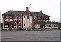
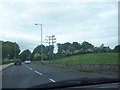
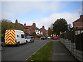
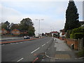
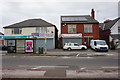
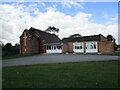
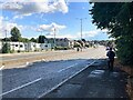

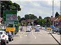
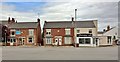
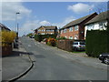
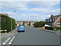
13 photos from this area
Area Information
Key information about the NG19 6DR including its size, population, and administrative classification.
- Area Type
- Postcode
- Area Size
- 1.6 hectares
- Population
- 1365
- Population Density
- 5095 people/km²
House Prices in NG19 6DR
30
Properties
£120,488
Average Sold Price
£70,000
Lowest Price
£160,000
Highest Price
Showing 30 properties
| Address | Type | Beds | Baths | Last Sale Price | Last Sale Date | |
|---|---|---|---|---|---|---|
| 53 Fairholme Drive, Mansfield, NG19 6DR | Detached | 3 | 1 | £70,000 | May 2025 | |
| 49 Fairholme Drive, Mansfield, NG19 6DR | Bungalow | - | - | £160,000 | Aug 2021 | |
| 57 Fairholme Drive, Mansfield, NG19 6DR | Semi-detached | 3 | 1 | £150,000 | Jan 2019 | |
| 45 Fairholme Drive, Mansfield, NG19 6DR | Bungalow | - | - | £129,950 | Feb 2015 | |
| 89 Fairholme Drive, Mansfield, NG19 6DR | Bungalow | - | - | £117,500 | Oct 2010 | |
| 43 Fairholme Drive, Mansfield, NG19 6DR | Bungalow | - | - | £115,000 | Aug 2010 | |
| 73 Fairholme Drive, Mansfield, NG19 6DR | Detached | - | - | £149,950 | Aug 2007 | |
| 91 Fairholme Drive, Mansfield, NG19 6DR | Bungalow | 2 | 1 | £112,000 | May 2004 | |
| 61 Fairholme Drive, Mansfield, NG19 6DR | Detached | - | - | £79,995 | Sep 2002 | |
| 59 Fairholme Drive, Mansfield, NG19 6DR | Detached | 4 | 2 | - | - |
Page 1 of 3
Energy Efficiency in NG19 6DR
Amenities
Schools
| Rank | School | Type | Entry gender | Ages |
|---|
Explore more schools in this area
Go to Schools tabDemographics
Household Size
One person
most common
Accommodation Type
Houses
most common
Tenure
64
majority
Ethnic Group
White
most common
Religion
N/A
most common
Household Composition
N/A
most common
Age
47
median
Adults (30-64 years)
most common
Household Deprivation
N/A
with no deprivation
NS-SEC
19
in Lower managerial occupations
Explore more demographic insights in this area
Go to Demographics tabPlanning
Planning Constraints
- Flood RiskPremium
- Ramsar Wetland SitesPremium
- Area of Outstanding Natural BeautyPremium
- Protected Nature ReservePremium
- Protected WoodlandPremium