Area Overview for NG18 5NB
Photos of NG18 5NB
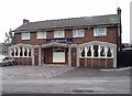
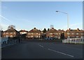
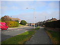
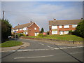
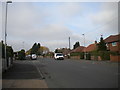
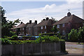
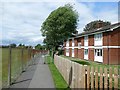
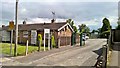
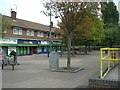
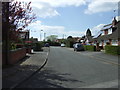
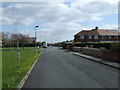
11 photos from this area
Area Information
Key information about the NG18 5NB including its size, population, and administrative classification.
- Area Type
- Postcode
- Area Size
- 1.2 hectares
- Population
- 1647
- Population Density
- 3762 people/km²
House Prices in NG18 5NB
20
Properties
£115,489
Average Sold Price
£65,500
Lowest Price
£179,950
Highest Price
Showing 20 properties
| Address | Type | Beds | Baths | Last Sale Price | Last Sale Date | |
|---|---|---|---|---|---|---|
| Newstead, 7 Brookland Avenue, Mansfield, NG18 5NB | Bungalow | - | - | £100,000 | Jul 2022 | |
| Rhylbank, 22 Brookland Avenue, Mansfield, NG18 5NB | house | - | - | £157,995 | Nov 2018 | |
| Ulverstone, 12 Brookland Avenue, Mansfield, NG18 5NB | Detached | - | - | £179,950 | Apr 2006 | |
| Chatsworth, 14 Brookland Avenue, Mansfield, NG18 5NB | Detached | - | - | £74,000 | Dec 1998 | |
| Clovelly, 9 Brookland Avenue, Mansfield, NG18 5NB | Detached | - | - | £65,500 | Nov 1997 | |
| Autumn Tints, 8 Brookland Avenue, Mansfield, NG18 5NB | Detached | 5 | 2 | - | - | |
| Leitra, 2 Brookland Avenue, Mansfield, NG18 5NB | Detached | 4 | 2 | - | - | |
| Spring Holme, 10 Brookland Avenue, Mansfield, NG18 5NB | Detached | 3 | - | - | - | |
| Cumberland House, 11 Brookland Avenue, Mansfield, NG18 5NB | house | - | - | - | - | |
| Harwell, Brookland Avenue, Mansfield, NG18 5NB | house | - | - | - | - |
Page 1 of 2
Energy Efficiency in NG18 5NB
Amenities
Schools
| Rank | School | Type | Entry gender | Ages |
|---|
Explore more schools in this area
Go to Schools tabDemographics
Household Size
Family (3-5 people)
most common
Accommodation Type
Houses
most common
Tenure
66
majority
Ethnic Group
White
most common
Religion
N/A
most common
Household Composition
N/A
most common
Age
47
median
Adults (30-64 years)
most common
Household Deprivation
N/A
with no deprivation
NS-SEC
17
in Lower managerial occupations
Explore more demographic insights in this area
Go to Demographics tabPlanning
Planning Constraints
- Flood RiskPremium
- Ramsar Wetland SitesPremium
- Area of Outstanding Natural BeautyPremium
- Protected Nature ReservePremium
- Protected WoodlandPremium