Area Overview for NG18 4RE
Photos of NG18 4RE
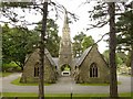
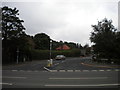
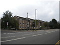
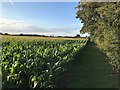
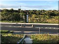
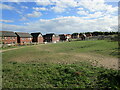
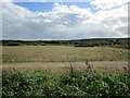
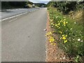
29 photos from this area
Area Information
Key information about the NG18 4RE including its size, population, and administrative classification.
- Area Type
- Postcode
- Area Size
- 2.3 hectares
- Population
- 1191
- Population Density
- 2463 people/km²
House Prices in NG18 4RE
17
Properties
£363,889
Average Sold Price
£110,000
Lowest Price
£750,000
Highest Price
Showing 17 properties
| Address | Type | Beds | Baths | Last Sale Price | Last Sale Date | |
|---|---|---|---|---|---|---|
| 56 Lichfield Lane, Mansfield, NG18 4RE | Bungalow | 4 | 2 | £750,000 | Mar 2024 | |
| 24 Lichfield Lane, Mansfield, NG18 4RE | Detached | 5 | 3 | £585,000 | Feb 2022 | |
| 54 Lichfield Lane, Mansfield, NG18 4RE | Bungalow | - | - | £305,000 | Sep 2018 | |
| 46 Lichfield Lane, Mansfield, NG18 4RE | Detached | 5 | 4 | £485,000 | Jun 2017 | |
| 36 Lichfield Lane, Mansfield, NG18 4RE | Bungalow | - | - | £265,000 | Jun 2016 | |
| 58 Lichfield Lane, Mansfield, NG18 4RE | house | - | - | £295,000 | Oct 2015 | |
| 48 Lichfield Lane, Mansfield, NG18 4RE | house | 4 | - | £350,000 | Oct 2013 | |
| 60 Lichfield Lane, Mansfield, NG18 4RE | Detached | 4 | 1 | £110,000 | Apr 1999 | |
| 34 Lichfield Lane, Mansfield, NG18 4RE | Detached | - | - | £130,000 | Aug 1998 | |
| 50 Lichfield Lane, Mansfield, NG18 4RE | house | 4 | - | - | - |
Page 1 of 2
Energy Efficiency in NG18 4RE
Amenities
Schools
| Rank | School | Type | Entry gender | Ages |
|---|
Explore more schools in this area
Go to Schools tabDemographics
Household Size
Two person
most common
Accommodation Type
Houses
most common
Tenure
90
majority
Ethnic Group
White
most common
Religion
N/A
most common
Household Composition
N/A
most common
Age
47
median
Adults (30-64 years)
most common
Household Deprivation
N/A
with no deprivation
NS-SEC
41
in Lower managerial occupations
Explore more demographic insights in this area
Go to Demographics tabPlanning
Planning Constraints
- Flood RiskPremium
- Ramsar Wetland SitesPremium
- Area of Outstanding Natural BeautyPremium
- Protected Nature ReservePremium
- Protected WoodlandPremium