Area Overview for NG18 4LB
Photos of NG18 4LB
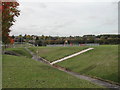

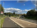
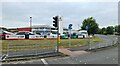
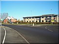
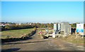
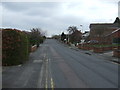
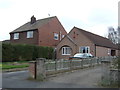
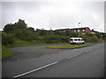
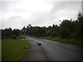
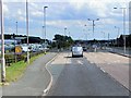
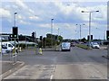
16 photos from this area
Area Information
Key information about the NG18 4LB including its size, population, and administrative classification.
- Area Type
- Postcode
- Area Size
- 3.1 hectares
- Population
- 1323
- Population Density
- 1404 people/km²
House Prices in NG18 4LB
34
Properties
£259,708
Average Sold Price
£90,000
Lowest Price
£580,000
Highest Price
Showing 34 properties
| Address | Type | Beds | Baths | Last Sale Price | Last Sale Date | |
|---|---|---|---|---|---|---|
| 244 Southwell Road West, Mansfield, NG18 4LB | Detached | 4 | 2 | £580,000 | Jul 2025 | |
| 242 Southwell Road West, Mansfield, NG18 4LB | Bungalow | 2 | 2 | £255,000 | Jan 2024 | |
| 276A Southwell Road West, Mansfield, NG18 4LB | Bungalow | 4 | 1 | £370,000 | May 2022 | |
| 238 Southwell Road West, Mansfield, NG18 4LB | Retail | 4 | 2 | £395,000 | Mar 2022 | |
| 268 Southwell Road West, Mansfield, NG18 4LB | Detached | 3 | 2 | £250,000 | Dec 2021 | |
| 250 Southwell Road West, Mansfield, NG18 4LB | Detached | 4 | 2 | £385,000 | Apr 2021 | |
| 216 Southwell Road West, Mansfield, NG18 4LB | Bungalow | - | - | £255,000 | Apr 2021 | |
| 222 Southwell Road West, Mansfield, NG18 4LB | Bungalow | - | - | £240,000 | Mar 2021 | |
| 270 Southwell Road West, Mansfield, NG18 4LB | Bungalow | - | - | £400,000 | Mar 2021 | |
| 228 Southwell Road West, Mansfield, NG18 4LB | house | - | - | £135,000 | Jan 2020 |
Page 1 of 4
Energy Efficiency in NG18 4LB
Amenities
Schools
| Rank | School | Type | Entry gender | Ages |
|---|
Explore more schools in this area
Go to Schools tabDemographics
Household Size
Two person
most common
Accommodation Type
Houses
most common
Tenure
91
majority
Ethnic Group
White
most common
Religion
N/A
most common
Household Composition
N/A
most common
Age
47
median
Adults (30-64 years)
most common
Household Deprivation
N/A
with no deprivation
NS-SEC
44
in Lower managerial occupations
Explore more demographic insights in this area
Go to Demographics tabPlanning
Planning Constraints
- Flood RiskPremium
- Ramsar Wetland SitesPremium
- Area of Outstanding Natural BeautyPremium
- Protected Nature ReservePremium
- Protected WoodlandPremium