Area Overview for NG18 4BJ
Photos of NG18 4BJ
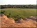
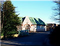
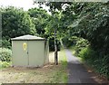
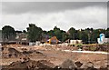
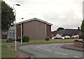
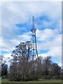
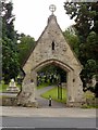
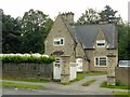
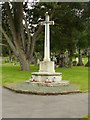
32 photos from this area
Area Information
Key information about the NG18 4BJ including its size, population, and administrative classification.
- Area Type
- Postcode
- Area Size
- 7392 m²
- Population
- 1839
- Population Density
- 4999 people/km²
House Prices in NG18 4BJ
22
Properties
£165,556
Average Sold Price
£74,000
Lowest Price
£270,000
Highest Price
Showing 22 properties
| Address | Type | Beds | Baths | Last Sale Price | Last Sale Date | |
|---|---|---|---|---|---|---|
| 26 Green Lane, Mansfield, NG18 4BJ | Terraced | 3 | 1 | £132,000 | Jul 2025 | |
| 5 Green Lane, Mansfield, NG18 4BJ | Semi-detached | 3 | 1 | £261,000 | Dec 2024 | |
| 20 Green Lane, Mansfield, NG18 4BJ | house | 3 | - | £110,000 | May 2023 | |
| 8 Green Lane, Mansfield, NG18 4BJ | Terraced | 2 | 1 | £135,000 | Mar 2023 | |
| 22 Green Lane, Mansfield, NG18 4BJ | house | - | - | £112,500 | Mar 2023 | |
| 9 Green Lane, Mansfield, NG18 4BJ | Retail | 3 | 2 | £262,500 | Sep 2022 | |
| 14 Green Lane, Mansfield, NG18 4BJ | Terraced | 2 | 1 | £110,000 | Jun 2022 | |
| 18 Green Lane, Mansfield, NG18 4BJ | Terraced | 3 | 1 | £135,000 | May 2022 | |
| The Old Dairy, 4 Green Lane, Mansfield, NG18 4BJ | Detached | 3 | 2 | £270,000 | Sep 2019 | |
| 30 Green Lane, Mansfield, NG18 4BJ | Bungalow | 3 | 2 | £265,000 | Jul 2019 |
Page 1 of 3
Energy Efficiency in NG18 4BJ
Amenities
Schools
| Rank | School | Type | Entry gender | Ages |
|---|
Explore more schools in this area
Go to Schools tabDemographics
Household Size
Two person
most common
Accommodation Type
Houses
most common
Tenure
75
majority
Ethnic Group
White
most common
Religion
N/A
most common
Household Composition
N/A
most common
Age
47
median
Adults (30-64 years)
most common
Household Deprivation
N/A
with no deprivation
NS-SEC
33
in Lower managerial occupations
Explore more demographic insights in this area
Go to Demographics tabPlanning
Planning Constraints
- Flood RiskPremium
- Ramsar Wetland SitesPremium
- Area of Outstanding Natural BeautyPremium
- Protected Nature ReservePremium
- Protected WoodlandPremium