Area Overview for NG18 3DB
Photos of NG18 3DB
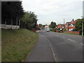

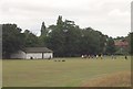
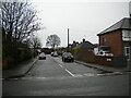
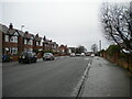
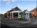
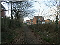
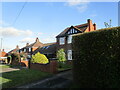
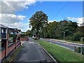
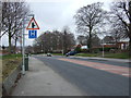
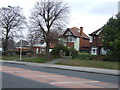
14 photos from this area
Area Information
Key information about the NG18 3DB including its size, population, and administrative classification.
- Area Type
- Postcode
- Area Size
- 5989 m²
- Population
- 1776
- Population Density
- 4960 people/km²
House Prices in NG18 3DB
17
Properties
£108,775
Average Sold Price
£57,500
Lowest Price
£181,000
Highest Price
Showing 17 properties
| Address | Type | Beds | Baths | Last Sale Price | Last Sale Date | |
|---|---|---|---|---|---|---|
| 32 Eakring Road, Mansfield, NG18 3DB | Semi-detached | 3 | 1 | £181,000 | Oct 2023 | |
| 12 Eakring Road, Mansfield, NG18 3DB | Terraced | 3 | 1 | £135,000 | Feb 2023 | |
| 18 Eakring Road, Mansfield, NG18 3DB | Terraced | 3 | 2 | £113,000 | Mar 2022 | |
| 34 Eakring Road, Mansfield, NG18 3DB | house | 3 | 1 | £120,000 | Jan 2018 | |
| 8 Eakring Road, Mansfield, NG18 3DB | house | 3 | - | £70,000 | Nov 2011 | |
| 30 Eakring Road, Mansfield, NG18 3DB | house | - | - | £113,750 | Apr 2010 | |
| 16 Eakring Road, Mansfield, NG18 3DB | Terraced | - | - | £79,950 | Apr 2006 | |
| 36 Eakring Road, Mansfield, NG18 3DB | Semi-detached | - | - | £57,500 | Jan 2001 | |
| Mill House, 26 Eakring Road, Mansfield, NG18 3DB | house | 4 | 2 | - | - | |
| 4 Eakring Road, Mansfield, NG18 3DB | Terraced | 3 | 1 | - | - |
Page 1 of 2
Energy Efficiency in NG18 3DB
Amenities
Schools
| Rank | School | Type | Entry gender | Ages |
|---|
Explore more schools in this area
Go to Schools tabDemographics
Household Size
Family (3-5 people)
most common
Accommodation Type
Houses
most common
Tenure
79
majority
Ethnic Group
White
most common
Religion
N/A
most common
Household Composition
N/A
most common
Age
47
median
Adults (30-64 years)
most common
Household Deprivation
N/A
with no deprivation
NS-SEC
26
in Lower managerial occupations
Explore more demographic insights in this area
Go to Demographics tabPlanning
Planning Constraints
- Flood RiskPremium
- Ramsar Wetland SitesPremium
- Area of Outstanding Natural BeautyPremium
- Protected Nature ReservePremium
- Protected WoodlandPremium