Area Overview for NG17 5LD
Photos of NG17 5LD
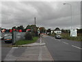
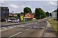
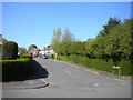
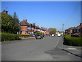
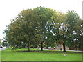
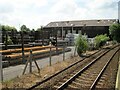
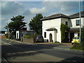
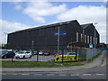
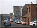
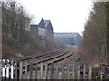
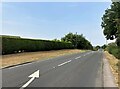
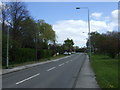
14 photos from this area
Area Information
Key information about the NG17 5LD including its size, population, and administrative classification.
- Area Type
- Postcode
- Area Size
- 19.0 hectares
- Population
- 2384
- Population Density
- 1508 people/km²
House Prices in NG17 5LD
22
Properties
£203,875
Average Sold Price
£163,000
Lowest Price
£250,000
Highest Price
Showing 22 properties
| Address | Type | Beds | Baths | Last Sale Price | Last Sale Date | |
|---|---|---|---|---|---|---|
| 5 Hamilton Road, Sutton In Ashfield, NG17 5LD | house | 3 | 2 | £179,500 | Jul 2022 | |
| 1A Hamilton Road, Sutton In Ashfield, NG17 5LD | house | - | - | £223,000 | Dec 2019 | |
| 3 Hamilton Road, Sutton In Ashfield, NG17 5LD | Semi-detached | 2 | 1 | £163,000 | Aug 2019 | |
| The Limes, Hamilton Road, Sutton In Ashfield, NG17 5LD | Bungalow | 3 | 1 | £250,000 | Jul 2014 | |
| Old Sheepbridge, Coxmoor Road, Sutton In Ashfield, NG17 5LD | Retail | - | - | - | - | |
| J M Posner Ltd, Rear Of Maun Industries, Drakehouse Court, Hamilton Road, Sutton In Ashfield, NG17 5LD | Industrial | - | - | - | - | |
| Unit 4A, Old Sheepbridge Works, Hamilton Road, Sutton In Ashfield, NG17 5LD | warehouse | - | - | - | - | |
| Walkers Transport, Walkers Store 3, Old Sheepbridge Works, Hamilton Road, Sutton In Ashfield, NG17 5LD | warehouse | - | - | - | - | |
| Unit B, Old Sheepbridge Works, Hamilton Road, Sutton In Ashfield, NG17 5LD | general_industrial | - | - | - | - | |
| Unit 4, Old Sheepbridge Works, Hamilton Road, Sutton In Ashfield, NG17 5LD | Industrial | - | - | - | - |
Page 1 of 3
Energy Efficiency in NG17 5LD
Amenities
Schools
| Rank | School | Type | Entry gender | Ages |
|---|
Explore more schools in this area
Go to Schools tabDemographics
Household Size
Family (3-5 people)
most common
Accommodation Type
Houses
most common
Tenure
75
majority
Ethnic Group
White
most common
Religion
N/A
most common
Household Composition
N/A
most common
Age
47
median
Adults (30-64 years)
most common
Household Deprivation
N/A
with no deprivation
NS-SEC
28
in Lower managerial occupations
Explore more demographic insights in this area
Go to Demographics tabPlanning
Planning Constraints
- Flood RiskPremium
- Ramsar Wetland SitesPremium
- Area of Outstanding Natural BeautyPremium
- Protected Nature ReservePremium
- Protected WoodlandPremium