Area Overview for NG17 5HQ
Photos of NG17 5HQ
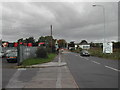
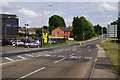
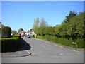
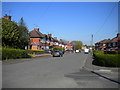
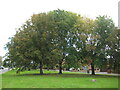
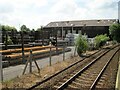
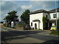
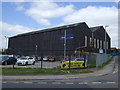

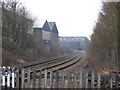
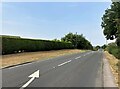
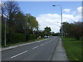
14 photos from this area
Area Information
Key information about the NG17 5HQ including its size, population, and administrative classification.
- Area Type
- Postcode
- Area Size
- 1.6 hectares
- Population
- 1557
- Population Density
- 155 people/km²
House Prices in NG17 5HQ
41
Properties
£137,589
Average Sold Price
£37,000
Lowest Price
£283,000
Highest Price
Showing 41 properties
| Address | Type | Beds | Baths | Last Sale Price | Last Sale Date | |
|---|---|---|---|---|---|---|
| 1 Laxton Avenue, Sutton In Ashfield, NG17 5HQ | Detached | 4 | 2 | £283,000 | Jul 2025 | |
| 34 Laxton Avenue, Sutton In Ashfield, NG17 5HQ | Semi-detached | 2 | 1 | £195,000 | Jul 2024 | |
| 36 Laxton Avenue, Sutton In Ashfield, NG17 5HQ | Semi-detached | 2 | 1 | £197,500 | May 2024 | |
| 21 Laxton Avenue, Sutton In Ashfield, NG17 5HQ | Semi-detached | 2 | 1 | £175,000 | Mar 2022 | |
| 12 Laxton Avenue, Sutton In Ashfield, NG17 5HQ | house | - | - | £180,000 | Mar 2022 | |
| 31 Laxton Avenue, Sutton In Ashfield, NG17 5HQ | Semi-detached | 2 | 1 | £173,000 | Feb 2022 | |
| 25 Laxton Avenue, Sutton In Ashfield, NG17 5HQ | house | - | - | £185,000 | Nov 2021 | |
| 14 Laxton Avenue, Sutton In Ashfield, NG17 5HQ | house | - | - | £167,500 | Nov 2021 | |
| 13 Laxton Avenue, Sutton In Ashfield, NG17 5HQ | Semi-detached | 2 | 1 | £132,000 | Feb 2019 | |
| 4 Laxton Avenue, Sutton In Ashfield, NG17 5HQ | Semi-detached | 3 | 1 | £125,000 | Nov 2018 |
Page 1 of 5
Energy Efficiency in NG17 5HQ
Amenities
Schools
| Rank | School | Type | Entry gender | Ages |
|---|
Explore more schools in this area
Go to Schools tabDemographics
Household Size
Two person
most common
Accommodation Type
Houses
most common
Tenure
92
majority
Ethnic Group
White
most common
Religion
N/A
most common
Household Composition
N/A
most common
Age
47
median
Adults (30-64 years)
most common
Household Deprivation
N/A
with no deprivation
NS-SEC
35
in Lower managerial occupations
Explore more demographic insights in this area
Go to Demographics tabPlanning
Planning Constraints
- Flood RiskPremium
- Ramsar Wetland SitesPremium
- Area of Outstanding Natural BeautyPremium
- Protected Nature ReservePremium
- Protected WoodlandPremium