Area Overview for NG17 2DX
Photos of NG17 2DX
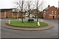
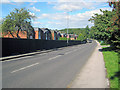
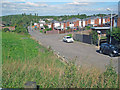
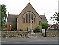
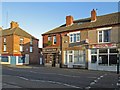
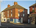
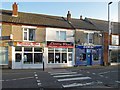
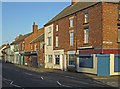
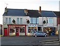
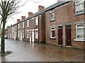
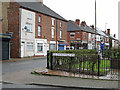
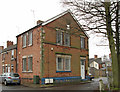
36 photos from this area
Area Information
Key information about the NG17 2DX including its size, population, and administrative classification.
- Area Type
- Postcode
- Area Size
- 10.3 hectares
- Population
- 1482
- Population Density
- 2636 people/km²
House Prices in NG17 2DX
16
Properties
£96,075
Average Sold Price
£39,950
Lowest Price
£193,000
Highest Price
Showing 16 properties
| Address | Type | Beds | Baths | Last Sale Price | Last Sale Date | |
|---|---|---|---|---|---|---|
| 203 Stoneyford Road, Sutton In Ashfield, NG17 2DX | Terraced | 2 | 1 | £87,500 | Feb 2021 | |
| 205 Stoneyford Road, Sutton In Ashfield, NG17 2DX | house | - | - | £81,000 | Aug 2020 | |
| 191 Stoneyford Road, Sutton In Ashfield, NG17 2DX | Bungalow | - | - | £193,000 | Aug 2020 | |
| 197 Stoneyford Road, Sutton In Ashfield, NG17 2DX | Detached | 3 | 2 | £110,000 | Dec 2017 | |
| 201 Stoneyford Road, Sutton In Ashfield, NG17 2DX | Terraced | 2 | 1 | £65,000 | Jun 2017 | |
| 199 Stoneyford Road, Sutton In Ashfield, NG17 2DX | Terraced | - | - | £39,950 | Jul 1999 | |
| 193 Stoneyford Road, Sutton In Ashfield, NG17 2DX | Detached | 3 | 1 | - | - | |
| 195B Stoneyford Road, Sutton In Ashfield, NG17 2DX | Bungalow | 3 | 2 | - | - | |
| 282 Stoneyford Road, Stanton Hill, NG17 2DX | Terraced | 2 | 1 | - | - | |
| 195A Stoneyford Road, Sutton In Ashfield, NG17 2DX | Detached | - | - | - | - |
Page 1 of 2
Energy Efficiency in NG17 2DX
Amenities
Schools
| Rank | School | Type | Entry gender | Ages |
|---|
Explore more schools in this area
Go to Schools tabDemographics
Household Size
Family (3-5 people)
most common
Accommodation Type
Houses
most common
Tenure
59
majority
Ethnic Group
White
most common
Religion
N/A
most common
Household Composition
N/A
most common
Age
47
median
Adults (30-64 years)
most common
Household Deprivation
N/A
with no deprivation
NS-SEC
18
in Lower managerial occupations
Explore more demographic insights in this area
Go to Demographics tabPlanning
Planning Constraints
- Flood RiskPremium
- Ramsar Wetland SitesPremium
- Area of Outstanding Natural BeautyPremium
- Protected Nature ReservePremium
- Protected WoodlandPremium