Area Overview for NG16 5BG
Photos of NG16 5BG
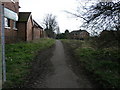
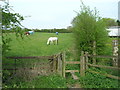
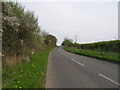
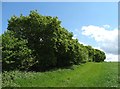
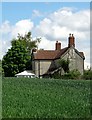
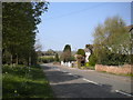
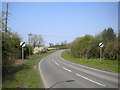
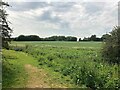
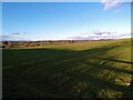
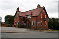
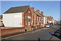
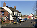
20 photos from this area
Area Information
Key information about the NG16 5BG including its size, population, and administrative classification.
- Area Type
- Postcode
- Area Size
- 42.5 hectares
- Population
- 1007
- Population Density
- 492 people/km²
House Prices in NG16 5BG
31
Properties
£143,517
Average Sold Price
£25,500
Lowest Price
£330,000
Highest Price
Showing 31 properties
| Address | Type | Beds | Baths | Last Sale Price | Last Sale Date | |
|---|---|---|---|---|---|---|
| 37 Main Street, Brinsley, NG16 5BG | Cottage | 2 | 1 | £260,000 | Mar 2022 | |
| 28 Main Street, Brinsley, NG16 5BG | house | - | - | £100,000 | Jan 2022 | |
| 29 Main Street, Brinsley, NG16 5BG | Terraced | 3 | 2 | £173,000 | May 2021 | |
| 23 Main Street, Brinsley, NG16 5BG | Terraced | 3 | 1 | £127,000 | May 2019 | |
| 3 Main Street, Brinsley, NG16 5BG | Detached | 4 | 2 | £330,000 | Dec 2018 | |
| 33 Main Street, Brinsley, NG16 5BG | Detached | - | - | £160,000 | May 2018 | |
| 25 Main Street, Brinsley, NG16 5BG | Terraced | 2 | - | £112,350 | May 2017 | |
| 27 Main Street, Brinsley, NG16 5BG | Terraced | 2 | 1 | £93,000 | Mar 2017 | |
| 1A Main Street, Brinsley, NG16 5BG | Detached | 4 | - | £322,000 | May 2016 | |
| 24 Main Street, Brinsley, NG16 5BG | house | - | - | £95,000 | Nov 2015 |
Page 1 of 4
Energy Efficiency in NG16 5BG
Amenities
Schools
| Rank | School | Type | Entry gender | Ages |
|---|
Explore more schools in this area
Go to Schools tabDemographics
Household Size
Two person
most common
Accommodation Type
Houses
most common
Tenure
91
majority
Ethnic Group
White
most common
Religion
N/A
most common
Household Composition
N/A
most common
Age
47
median
Adults (30-64 years)
most common
Household Deprivation
N/A
with no deprivation
NS-SEC
35
in Lower managerial occupations
Explore more demographic insights in this area
Go to Demographics tabPlanning
Planning Constraints
- Flood RiskPremium
- Ramsar Wetland SitesPremium
- Area of Outstanding Natural BeautyPremium
- Protected Nature ReservePremium
- Protected WoodlandPremium