Area Overview for NG16 4FS
Photos of NG16 4FS
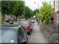

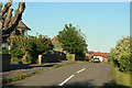
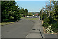
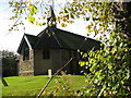
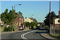

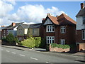
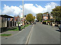
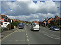


44 photos from this area
Area Information
Key information about the NG16 4FS including its size, population, and administrative classification.
- Area Type
- Postcode
- Area Size
- 11.8 hectares
- Population
- 1647
- Population Density
- 3691 people/km²
House Prices in NG16 4FS
67
Properties
£87,115
Average Sold Price
£30,000
Lowest Price
£142,000
Highest Price
Showing 67 properties
| Address | Type | Beds | Baths | Last Sale Price | Last Sale Date | |
|---|---|---|---|---|---|---|
| 103 Bailey Brook Drive, Langley Mill, Heanor, NG16 4FS | house | - | - | £130,000 | Apr 2021 | |
| 89 Bailey Brook Drive, Langley Mill, Heanor, NG16 4FS | Detached | 3 | 1 | £142,000 | Feb 2021 | |
| 21 Bailey Brook Drive, Langley Mill, Heanor, NG16 4FS | house | 3 | - | £100,000 | Dec 2018 | |
| 39 Bailey Brook Drive, Langley Mill, Heanor, NG16 4FS | Semi-detached | 3 | - | £124,000 | Aug 2017 | |
| 73 Bailey Brook Drive, Langley Mill, Heanor, NG16 4FS | Semi-detached | 3 | - | £95,000 | Jun 2016 | |
| 29 Bailey Brook Drive, Langley Mill, Heanor, NG16 4FS | house | - | - | £117,000 | Dec 2015 | |
| 81 Bailey Brook Drive, Langley Mill, Heanor, NG16 4FS | house | - | - | £104,000 | Oct 2015 | |
| 99 Bailey Brook Drive, Langley Mill, Heanor, NG16 4FS | Semi-detached | 3 | - | £101,000 | Mar 2015 | |
| 105 Bailey Brook Drive, Langley Mill, Heanor, NG16 4FS | house | - | - | £85,000 | Mar 2011 | |
| 71 Bailey Brook Drive, Langley Mill, Heanor, NG16 4FS | Semi-detached | - | - | £100,000 | Jun 2009 |
Page 1 of 7
Energy Efficiency in NG16 4FS
Amenities
Schools
| Rank | School | Type | Entry gender | Ages |
|---|
Explore more schools in this area
Go to Schools tabDemographics
Household Size
Two person
most common
Accommodation Type
Houses
most common
Tenure
46
majority
Ethnic Group
White
most common
Religion
N/A
most common
Household Composition
N/A
most common
Age
47
median
Adults (30-64 years)
most common
Household Deprivation
N/A
with no deprivation
NS-SEC
15
in Lower managerial occupations
Explore more demographic insights in this area
Go to Demographics tabPlanning
Planning Constraints
- Flood RiskPremium
- Ramsar Wetland SitesPremium
- Area of Outstanding Natural BeautyPremium
- Protected Nature ReservePremium
- Protected WoodlandPremium